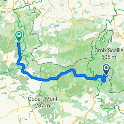
PRT 22 Semoy : Loop 1
- 9 km
- 205 m
- 213 m
- Les Hautes-Rivières, Grand Est, France
A cycling route starting in Les Hautes-Rivières, Grand Est, France.
Overview
created this 5 years ago
Route quality
Cycleway
6.7 km
(49 %)
Quiet road
3.1 km
(23 %)
Paved
10.1 km
(74 %)
Asphalt
10.1 km
(74 %)
Undefined
3.6 km
(26 %)
Continue with Bikemap
You would like to ride D31, Thilay to 12bis Rue du Général de Gaulle, Monthermé or customize it for your own trip? Here is what you can do with this Bikemap route:
Free trial for 3 days, or one-time payment. More about Bikemap Premium.
Discover more Premium features.
Get Bikemap PremiumFrom our community
Open it in the app