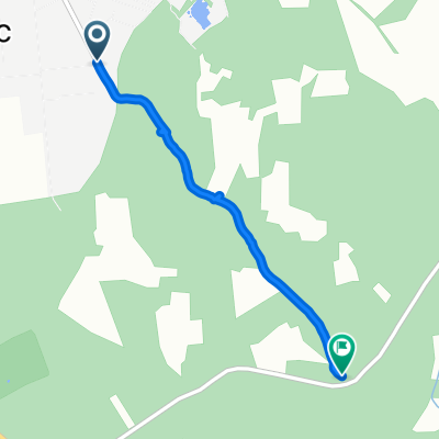
Romania 2009 - DAY 1
- 143.3 km
- 284 m
- 183 m
- Mikepércs, Hajdú-Bihar, Hungary
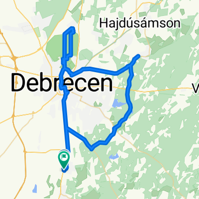
A cycling route starting in Mikepércs, Hajdú-Bihar, Hungary.
Overview
February 4, 2020 53 km
created this 5 years ago
Route quality
Quiet road
7.6 km
(14 %)
Cycleway
6.5 km
(12 %)
Paved
36.4 km
(67 %)
Unpaved
1.1 km
(2 %)
Asphalt
36.4 km
(67 %)
Unpaved (undefined)
0.5 km
(1 %)
Continue with Bikemap
You would like to ride 2020 első tekerése or customize it for your own trip? Here is what you can do with this Bikemap route:
Free trial for 3 days, or one-time payment. More about Bikemap Premium.
Discover more Premium features.
Get Bikemap PremiumFrom our community
Open it in the app