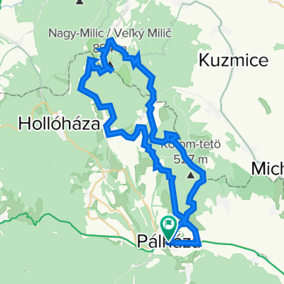
Pálházáról Kőkapu felett

A cycling route starting in 
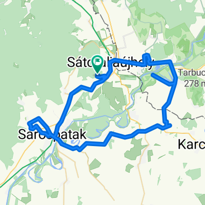
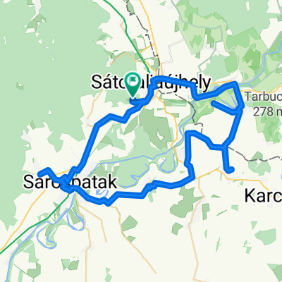
Sátoraljaújhely, Borsod-Abauj Zemplen county, Hungary.
OverviewAbout this route
-:--
Duration
27 km
Distance
318 m
Ascent
318 m
Descent
---
Avg. speed
---
Max. altitude
Hegykozi Kalandok - Pagonyprojektcreated this 6 years ago
Route qualityWaytypes & surfaces along the route
Waytypes
  • Track

    11.3 km42 %
  • Quiet road

    10 km37 %
  • Road

    4 km15 %
Surfaces

Paved

15.7 km(58 %)

Unpaved

11.1 km(41 %)
  • Asphalt

    15.4 km57 %
  • Gravel

    11.1 km41 %
  • Paved (undefined)

    0.3 km1 %
Continue with BikemapUse, edit, or download this cycling route
You would like to ride Pálházáról Kőkapu felett or customize it for your own trip? Here is what you can do with this Bikemap route:
Free features
Premium features

Free trial for 3 days, or one-time payment. More about Bikemap Premium.

  • Navigate this route on iOS & Android
  • Export a GPX / KML file of this route
  • Create your custom printout (try it for free)
  • Download this route for offline navigation

Discover more Premium features.

Get Bikemap Premium
From our communityOther popular routes starting in Sátoraljaújhely

Open it in the app