Feldkirch - Plansee
A cycling route starting in Nofels, Vorarlberg, Austria.
Overview
About this route
Für alle, die gerne auf Langstrecken unterwegs sind
- -:--
- Duration
- 285.8 km
- Distance
- 2,352 m
- Ascent
- 2,352 m
- Descent
- ---
- Avg. speed
- ---
- Avg. speed
Continue with Bikemap
Use, edit, or download this cycling route
You would like to ride Feldkirch - Plansee or customize it for your own trip? Here is what you can do with this Bikemap route:
Free features
- Save this route as favorite or in collections
- Copy & plan your own version of this route
- Sync your route with Garmin or Wahoo
Premium features
Free trial for 3 days, or one-time payment. More about Bikemap Premium.
- Navigate this route on iOS & Android
- Export a GPX / KML file of this route
- Create your custom printout (try it for free)
- Download this route for offline navigation
Discover more Premium features.
Get Bikemap PremiumFrom our community
Other popular routes starting in Nofels
- Bregenz-Brno day2of9
- Distance
- 94.5 km
- Ascent
- 1,388 m
- Descent
- 978 m
- Location
- Nofels, Vorarlberg, Austria
- Rund um den Schellenberg
- Distance
- 34.4 km
- Ascent
- 25 m
- Descent
- 16 m
- Location
- Nofels, Vorarlberg, Austria
- Feldkirch - Plansee
- Distance
- 285.8 km
- Ascent
- 2,352 m
- Descent
- 2,352 m
- Location
- Nofels, Vorarlberg, Austria
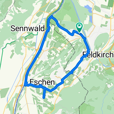
- Von Tisis über Illspitz nach Arbogast und Göfis zurück nach Tisis
- Distance
- 40.6 km
- Ascent
- 398 m
- Descent
- 398 m
- Location
- Nofels, Vorarlberg, Austria
- Plan - Riedbergpass
- Distance
- 176.3 km
- Ascent
- 2,226 m
- Descent
- 2,247 m
- Location
- Nofels, Vorarlberg, Austria
- 07_A/Nofels-CH/Sedrun
- Distance
- 130.4 km
- Ascent
- 1,372 m
- Descent
- 417 m
- Location
- Nofels, Vorarlberg, Austria
- Silvretta
- Distance
- 143.1 km
- Ascent
- 1,571 m
- Descent
- 1,569 m
- Location
- Nofels, Vorarlberg, Austria
- Route im Schneckentempo in Feldkirch
- Distance
- 51.4 km
- Ascent
- 1,567 m
- Descent
- 1,551 m
- Location
- Nofels, Vorarlberg, Austria
Open it in the app