

Passeio rápido em Brasil
A cycling route starting in Chapecó, Santa Catarina, Brazil.
Overview
About this route
- 2 h 30 min
- Duration
- 26.4 km
- Distance
- 455 m
- Ascent
- 456 m
- Descent
- 10.6 km/h
- Avg. speed
- ---
- Max. altitude
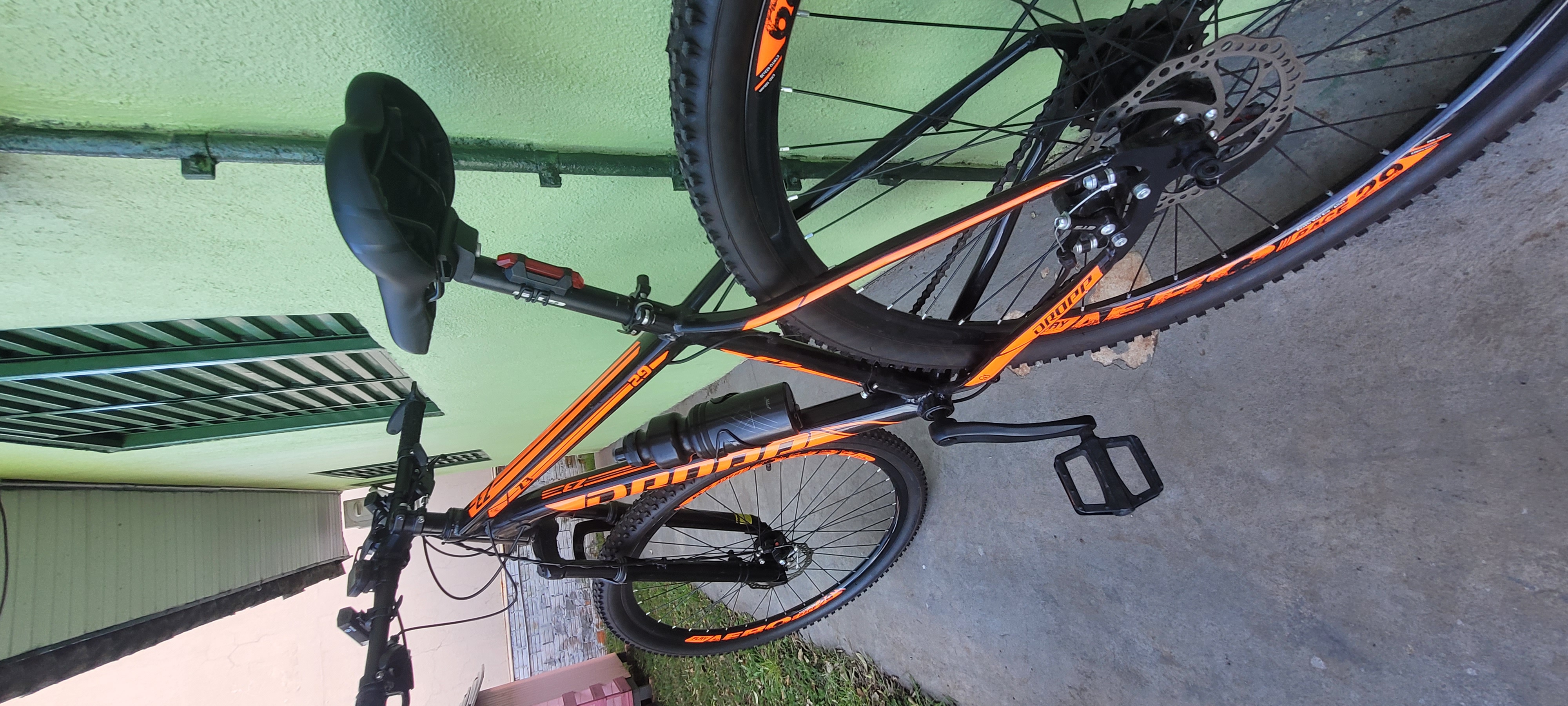
Route photos


Route quality
Waytypes & surfaces along the route
Waytypes
Quiet road
12.8 km
(49 %)
Road
12.7 km
(48 %)
Surfaces
Paved
13.8 km
(52 %)
Unpaved
11.3 km
(43 %)
Asphalt
13.7 km
(52 %)
Unpaved (undefined)
11.3 km
(43 %)
Continue with Bikemap
Use, edit, or download this cycling route
You would like to ride Passeio rápido em Brasil or customize it for your own trip? Here is what you can do with this Bikemap route:
Free features
- Save this route as favorite or in collections
- Copy & plan your own version of this route
- Sync your route with Garmin or Wahoo
Premium features
Free trial for 3 days, or one-time payment. More about Bikemap Premium.
- Navigate this route on iOS & Android
- Export a GPX / KML file of this route
- Create your custom printout (try it for free)
- Download this route for offline navigation
Discover more Premium features.
Get Bikemap PremiumFrom our community
Other popular routes starting in Chapecó
 De Rua Osvaldo Cruz a Rua Osvaldo Cruz
- Distance
- 10.2 km
- Ascent
- 80 m
- Descent
- 88 m
- Location
- Chapecó, Santa Catarina, Brazil
 Passeio rápido em Brasil
- Distance
- 26.4 km
- Ascent
- 455 m
- Descent
- 456 m
- Location
- Chapecó, Santa Catarina, Brazil
 Linha Tormen 1
- Distance
- 18.6 km
- Ascent
- 284 m
- Descent
- 287 m
- Location
- Chapecó, Santa Catarina, Brazil
 Chapecó - Cordilheira 1
- Distance
- 32.8 km
- Ascent
- 559 m
- Descent
- 562 m
- Location
- Chapecó, Santa Catarina, Brazil
 De Rua Imbituba, 1022, Chapecó a Rua Imbituba, 1022, Chapecó
- Distance
- 14.2 km
- Ascent
- 228 m
- Descent
- 160 m
- Location
- Chapecó, Santa Catarina, Brazil
 De ¿Ôffi? a ¿Ôffi?
- Distance
- 26.4 km
- Ascent
- 1,761 m
- Descent
- 1,695 m
- Location
- Chapecó, Santa Catarina, Brazil
 Caxambu Ida e Volta
- Distance
- 74.8 km
- Ascent
- 765 m
- Descent
- 772 m
- Location
- Chapecó, Santa Catarina, Brazil
 Volta Aeroporto
- Distance
- 23.1 km
- Ascent
- 565 m
- Descent
- 569 m
- Location
- Chapecó, Santa Catarina, Brazil
Open it in the app