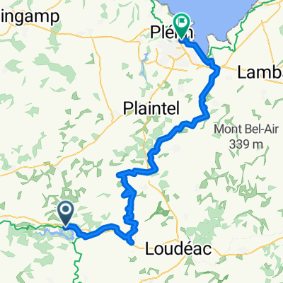
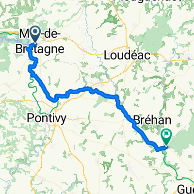
- 90.5 km
- 1,008 m
- 1,158 m
- Mûr-de-Bretagne, Brittany Region, France
Stage 3 - Caurel - Chateaulin
A cycling route starting in Mûr-de-Bretagne, Brittany Region, France.
Overview
About this route
The more information you write here, the more you help other users with your route.<br /><br />* Start at Lac de Guerledan and follow meandering Nantes-Brest Canal
-
Pass through Carhaix (Vorgium), an important roman settlement and the earlier home of the Osismes tribe (think Asterix the Gaul territory).Good place to stop for early lunch.Tourist information as in the 16C maison du Seneschal.
-
Rostrenen is a better place for lunch
- -:--
- Duration
- 121.4 km
- Distance
- 223 m
- Ascent
- 367 m
- Descent
- ---
- Avg. speed
- ---
- Max. altitude
created this 15 years ago
Route quality
Waytypes & surfaces along the route
Waytypes
Path
52.2 km
(43 %)
Track
49.8 km
(41 %)
Surfaces
Paved
30.4 km
(25 %)
Unpaved
42.5 km
(35 %)
Gravel
37.6 km
(31 %)
Asphalt
26.7 km
(22 %)
Continue with Bikemap
Use, edit, or download this cycling route
You would like to ride Stage 3 - Caurel - Chateaulin or customize it for your own trip? Here is what you can do with this Bikemap route:
Free features
- Save this route as favorite or in collections
- Copy & plan your own version of this route
- Split it into stages to create a multi-day tour
- Sync your route with Garmin or Wahoo
Premium features
Free trial for 3 days, or one-time payment. More about Bikemap Premium.
- Navigate this route on iOS & Android
- Export a GPX / KML file of this route
- Create your custom printout (try it for free)
- Download this route for offline navigation
Discover more Premium features.
Get Bikemap PremiumFrom our community
Other popular routes starting in Mûr-de-Bretagne
- Von Caurel bis Plérin
- Mûr-St-Mayeux-Plussulien-Gouarec-St-Aignan-ur-St-Mayeux-Mûr
- 63.8 km
- 618 m
- 618 m
- Mûr-de-Bretagne, Brittany Region, France
- Rue de Bellevue nach Rue Aimé Jeglot
- 49.3 km
- 282 m
- 364 m
- Mûr-de-Bretagne, Brittany Region, France
- Saint-Aignan - Gouarec
- 21.4 km
- 268 m
- 214 m
- Mûr-de-Bretagne, Brittany Region, France
- Gouarec - Pleugueneuc
- 123.1 km
- 891 m
- 967 m
- Mûr-de-Bretagne, Brittany Region, France
- a supprimer CNaB - Etape 3 - Caurel --- Pontivy
- 29 km
- 64 m
- 163 m
- Mûr-de-Bretagne, Brittany Region, France
- barrage de mur de bretagne
- 47.9 km
- 558 m
- 551 m
- Mûr-de-Bretagne, Brittany Region, France
- J10 - Caurel / Plonevez
- 98.3 km
- 284 m
- 324 m
- Mûr-de-Bretagne, Brittany Region, France
Open it in the app


