
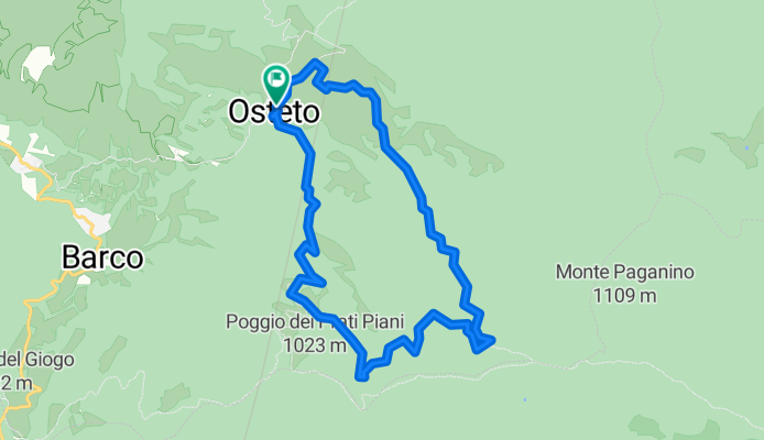
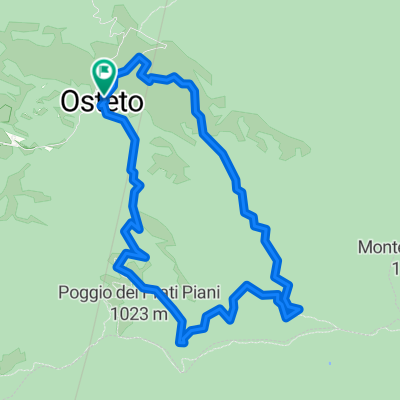
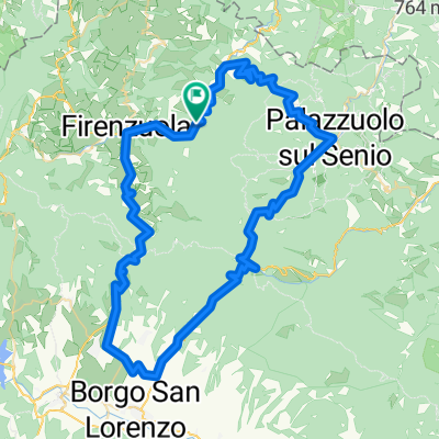
Moscheta, anello CAI nr.15
A cycling route starting in Firenzuola, Tuscany, Italy.
Overview
About this route
Among chestnut and beech forests, you ascend to the fir and pine woods on comfortable paths accessible even for less fit individuals. A day in the green with numerous resting spots to relax and have snacks. The route is well maintained even during the winter season.
- -:--
- Duration
- 9.6 km
- Distance
- 430 m
- Ascent
- 430 m
- Descent
- ---
- Avg. speed
- ---
- Max. altitude

Route quality
Waytypes & surfaces along the route
Waytypes
Track
6.3 km
(66 %)
Path
2.6 km
(27 %)
Surfaces
Unpaved
6.3 km
(66 %)
Gravel
6.3 km
(66 %)
Undefined
3.3 km
(34 %)
Continue with Bikemap
Use, edit, or download this cycling route
You would like to ride Moscheta, anello CAI nr.15 or customize it for your own trip? Here is what you can do with this Bikemap route:
Free features
- Save this route as favorite or in collections
- Copy & plan your own version of this route
- Sync your route with Garmin or Wahoo
Premium features
Free trial for 3 days, or one-time payment. More about Bikemap Premium.
- Navigate this route on iOS & Android
- Export a GPX / KML file of this route
- Create your custom printout (try it for free)
- Download this route for offline navigation
Discover more Premium features.
Get Bikemap PremiumFrom our community
Other popular routes starting in Firenzuola
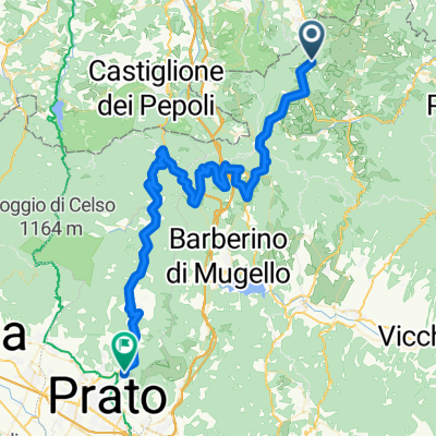
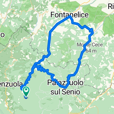 Giro Zona Firenzuola-Fontanelice-Casola-Palazzuolo-Firenzuola
- Distance
- 85.7 km
- Ascent
- 3,049 m
- Descent
- 3,149 m
- Location
- Firenzuola, Tuscany, Italy
 Quattro Passi 06/set/2015
- Distance
- 85.9 km
- Ascent
- 1,886 m
- Descent
- 1,884 m
- Location
- Firenzuola, Tuscany, Italy
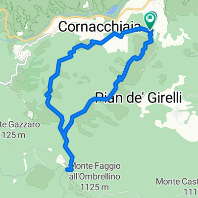 all'osteria bruciata
- Distance
- 10.4 km
- Ascent
- 532 m
- Descent
- 521 m
- Location
- Firenzuola, Tuscany, Italy
 Moscheta, anello CAI nr.15
- Distance
- 9.6 km
- Ascent
- 430 m
- Descent
- 430 m
- Location
- Firenzuola, Tuscany, Italy
 Quattro Passi 2016
- Distance
- 86.4 km
- Ascent
- 1,885 m
- Descent
- 1,888 m
- Location
- Firenzuola, Tuscany, Italy
 Quattro Passi 06/09/2015
- Distance
- 86.5 km
- Ascent
- 1,871 m
- Descent
- 1,869 m
- Location
- Firenzuola, Tuscany, Italy
 Quattro Passi
- Distance
- 85.5 km
- Ascent
- 1,872 m
- Descent
- 1,875 m
- Location
- Firenzuola, Tuscany, Italy
 ciclovia del sole tratto pietramala/ prato frazione santa lucia
- Distance
- 74.1 km
- Ascent
- 906 m
- Descent
- 1,690 m
- Location
- Firenzuola, Tuscany, Italy
Open it in the app