

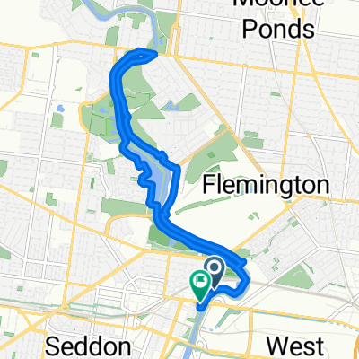
capital city trail
A cycling route starting in Footscray, Victoria, Australia.
Overview
About this route
- 1 h 50 min
- Duration
- 36.4 km
- Distance
- 247 m
- Ascent
- 250 m
- Descent
- 19.9 km/h
- Avg. speed
- ---
- Max. altitude

Route photos

Route quality
Waytypes & surfaces along the route
Waytypes
Cycleway
28.8 km
(79 %)
Quiet road
2.2 km
(6 %)
Surfaces
Paved
35 km
(96 %)
Asphalt
18.2 km
(50 %)
Concrete
12.8 km
(35 %)
Continue with Bikemap
Use, edit, or download this cycling route
You would like to ride capital city trail or customize it for your own trip? Here is what you can do with this Bikemap route:
Free features
- Save this route as favorite or in collections
- Copy & plan your own version of this route
- Sync your route with Garmin or Wahoo
Premium features
Free trial for 3 days, or one-time payment. More about Bikemap Premium.
- Navigate this route on iOS & Android
- Export a GPX / KML file of this route
- Create your custom printout (try it for free)
- Download this route for offline navigation
Discover more Premium features.
Get Bikemap PremiumFrom our community
Other popular routes starting in Footscray
 53 Irving St, Footscray to 35-39 Errol St, Footscray
- Distance
- 1.3 km
- Ascent
- 6 m
- Descent
- 3 m
- Location
- Footscray, Victoria, Australia
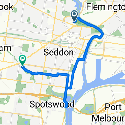
 Maribyrnong River Trail, Footscray to 1 Hopkins Street, Footscray
- Distance
- 11.5 km
- Ascent
- 72 m
- Descent
- 66 m
- Location
- Footscray, Victoria, Australia
 FS-Maribyrnong
- Distance
- 11.2 km
- Ascent
- 101 m
- Descent
- 116 m
- Location
- Footscray, Victoria, Australia
 capital city trail
- Distance
- 36.4 km
- Ascent
- 247 m
- Descent
- 250 m
- Location
- Footscray, Victoria, Australia
 local ride
- Distance
- 10.8 km
- Ascent
- 68 m
- Descent
- 76 m
- Location
- Footscray, Victoria, Australia
 100km return
- Distance
- 52.5 km
- Ascent
- 52 m
- Descent
- 80 m
- Location
- Footscray, Victoria, Australia
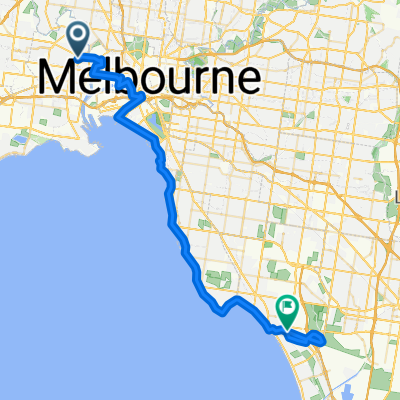
 45 Moreland St, Footscray to 265–269 Russell St, Melbourne
- Distance
- 6.9 km
- Ascent
- 44 m
- Descent
- 45 m
- Location
- Footscray, Victoria, Australia
 1–3 Warde St, Footscray to Maribyrnong River Trail, Maribyrnong
- Distance
- 4.5 km
- Ascent
- 38 m
- Descent
- 54 m
- Location
- Footscray, Victoria, Australia
Open it in the app