2020 Dwa Pogórza zimą
A cycling route starting in Dębica, Subcarpathian Voivodeship, Poland.
Overview
About this route
104.77 km - total length of the route ridden on a mountain bike.
530 m of elevation gain in the Strzyżów Foothills.
1186 m of elevation gain in the Ciężkowice Foothills and in the Lower Wisłoka Valley.
To Czermej (first 49 km of the route) riding against the wind at 29 km/h (gusts up to 59 km/h) S.
- -:--
- Duration
- 100.3 km
- Distance
- 1,446 m
- Ascent
- 1,449 m
- Descent
- ---
- Avg. speed
- ---
- Max. altitude
Route quality
Waytypes & surfaces along the route
Waytypes
Quiet road
56.2 km
(56 %)
Road
40.1 km
(40 %)
Surfaces
Paved
88.3 km
(88 %)
Asphalt
86.3 km
(86 %)
Concrete
2 km
(2 %)
Undefined
12 km
(12 %)
Route highlights
Points of interest along the route

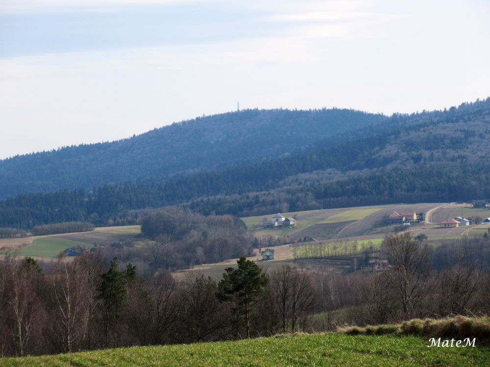
Photo after 15.3 km
W kierunku Krosna.

Photo after 24.2 km
Pasmo Klonowej Góry.

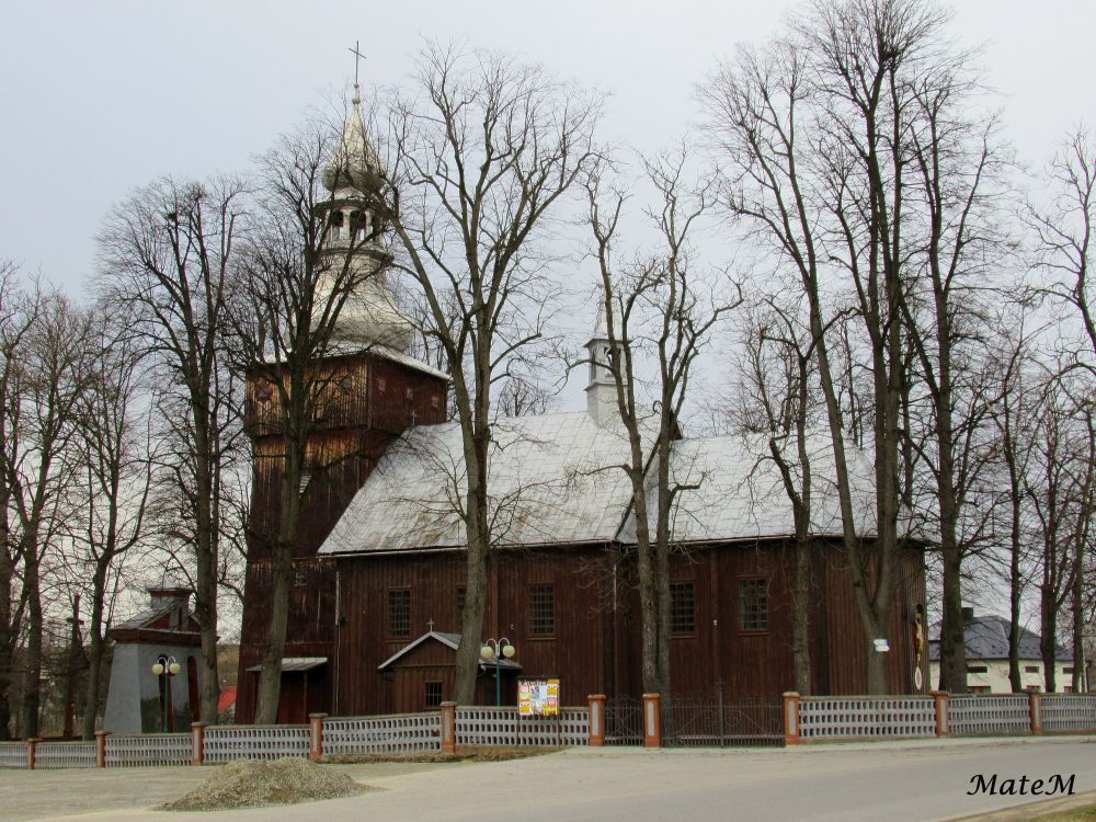
Photo after 24.4 km
XVIII-wieczny kościół na Górze Św. Grzegorza

Photo after 29.5 km
Kładka na Wisłoce.

Photo after 34.5 km
Pogórze w Zawadce Brzosteckiej.

Photo after 39.6 km
Liwocz (562 m. n.p.m.)

Photo after 44.5 km
Pasmo Liwocza od strony południowej.
Photo after 56.9 km
Flisz karpacki w Paśmie Brzanki.

Photo after 71.8 km
XVII- wieczny kościół w Zwierniku.
Continue with Bikemap
Use, edit, or download this cycling route
You would like to ride 2020 Dwa Pogórza zimą or customize it for your own trip? Here is what you can do with this Bikemap route:
Free features
- Save this route as favorite or in collections
- Copy & plan your own version of this route
- Split it into stages to create a multi-day tour
- Sync your route with Garmin or Wahoo
Premium features
Free trial for 3 days, or one-time payment. More about Bikemap Premium.
- Navigate this route on iOS & Android
- Export a GPX / KML file of this route
- Create your custom printout (try it for free)
- Download this route for offline navigation
Discover more Premium features.
Get Bikemap PremiumFrom our community
Other popular routes starting in Dębica
 Rezerwat "Torfy"- Stawy Lipiński i Machowski
- Distance
- 37.6 km
- Ascent
- 117 m
- Descent
- 117 m
- Location
- Dębica, Subcarpathian Voivodeship, Poland
 2020 Pogórze Strzyżowskie: Pasmem Klonowej Góry i przez Wiśniową
- Distance
- 109.5 km
- Ascent
- 1,528 m
- Descent
- 1,529 m
- Location
- Dębica, Subcarpathian Voivodeship, Poland
 2019 Pod Jasło: kurhany, zamek i panoramy
- Distance
- 120.2 km
- Ascent
- 1,016 m
- Descent
- 1,020 m
- Location
- Dębica, Subcarpathian Voivodeship, Poland
 2019.08.23 Gród w Stobiernej- Smarżowa
- Distance
- 59.4 km
- Ascent
- 539 m
- Descent
- 539 m
- Location
- Dębica, Subcarpathian Voivodeship, Poland
 Pilzno- Zwiernik- Szynwałd- lasy chotowskie
- Distance
- 68 km
- Ascent
- 398 m
- Descent
- 398 m
- Location
- Dębica, Subcarpathian Voivodeship, Poland
 Magurska Odznaka Terenowa dzień 1
- Distance
- 144.8 km
- Ascent
- 1,019 m
- Descent
- 791 m
- Location
- Dębica, Subcarpathian Voivodeship, Poland
 2020 Dwa Pogórza zimą
- Distance
- 100.3 km
- Ascent
- 1,446 m
- Descent
- 1,449 m
- Location
- Dębica, Subcarpathian Voivodeship, Poland
 Głobikowa 26.02.12
- Distance
- 32.7 km
- Ascent
- 334 m
- Descent
- 334 m
- Location
- Dębica, Subcarpathian Voivodeship, Poland
Open it in the app


