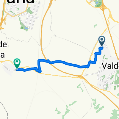
De Valdemoro a Torrejón de Velasco
- 10.2 km
- 65 m
- 80 m
- Valdemoro, Madrid, Spain
A cycling route starting in Valdemoro, Madrid, Spain.
Overview
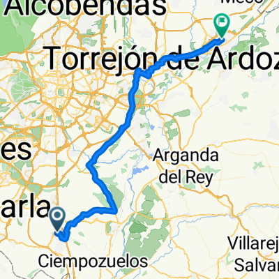
MTB-IN 'Valdemoro-San Martín-Ciempozuelos-Valdemoro'
created this 15 years ago
Route quality
Track
16.8 km
(94 %)
Quiet road
0.4 km
(2 %)
Paved
0.4 km
(2 %)
Unpaved
10.5 km
(59 %)
Ground
7.7 km
(43 %)
Unpaved (undefined)
1.4 km
(8 %)
Continue with Bikemap
You would like to ride Valdemoro-San Martín-Ciempozuelos-Valdemoro or customize it for your own trip? Here is what you can do with this Bikemap route:
Free trial for 3 days, or one-time payment. More about Bikemap Premium.
Discover more Premium features.
Get Bikemap PremiumFrom our community
Open it in the app