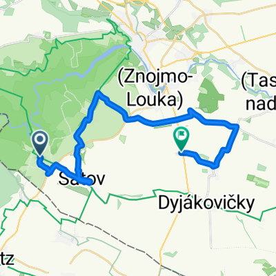
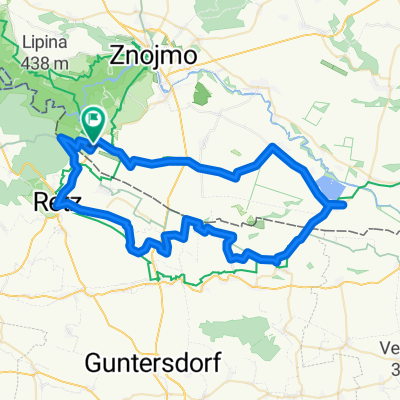
Hardegg - Satov
- 26.8 km
- 352 m
- 418 m
- Šatov, South Moravian, Czechia
A cycling route starting in Šatov, South Moravian, Czechia.
Overview
Auf- und Abstieg korrekt 830 m !
created this 5 years ago
Route quality
Track
21.2 km
(50 %)
Road
8.9 km
(21 %)
Paved
25 km
(59 %)
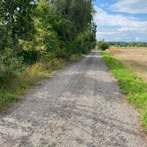
Unpaved
12.7 km
(30 %)
Asphalt
21.6 km
(51 %)
Ground
6.3 km
(15 %)
Continue with Bikemap
You would like to ride Durch den Nationalpark Thayatal or customize it for your own trip? Here is what you can do with this Bikemap route:
Free trial for 3 days, or one-time payment. More about Bikemap Premium.
Discover more Premium features.
Get Bikemap PremiumFrom our community
Open it in the app