slanska hrebeňovka leto 2015
- 106.2 km
- 2,560 m
- 2,458 m
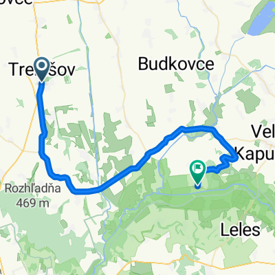
- Trebišov, Košice Region, Slovakia
A cycling route starting in Trebišov, Košice Region, Slovakia.
Overview
created this 5 years ago
Route quality
Track
5.9 km
(75 %)
Quiet road
0.8 km
(10 %)
Unpaved
3.5 km
(45 %)
Ground
3.5 km
(45 %)
Undefined
4.3 km
(55 %)
Route highlights
Kapc-tető - Permokarbon feltárás 285-375 millió éves homokkő, konglomerátum és csillámpala.
Árpádkori református templom
Riolittufa feltárás. Zempléni-hegység kialakulásakor keletkezett (11-14 millió éves).
Rögök élővilága
Magyar-szlovák határsáv
Kvarcit, kvarcitpala felszínre bukkanások A földtörténeti előidőben (kb. 900 millió éve) képződött.
Kálvária-domb
Continue with Bikemap
You would like to ride Ősrög tanösvény or customize it for your own trip? Here is what you can do with this Bikemap route:
Free trial for 3 days, or one-time payment. More about Bikemap Premium.
Discover more Premium features.
Get Bikemap PremiumFrom our community
Open it in the app