to avant
- 53.4 km
- 324 m
- 327 m
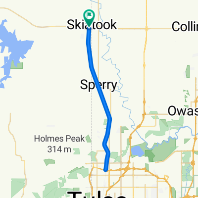
- Skiatook, Oklahoma, United States
A cycling route starting in Skiatook, Oklahoma, United States.
Overview
Avant does not have any public establishments. They do have vending machines on the side of the road, a mean dog that will chase you after the bridge, and a nice river that accepts the raw sewage of the township. NW Headwinds all the way there and part of the way back (not sure how that's possible).
created this 5 years ago
Route quality
Road
41.6 km
(78 %)
Quiet road
5.3 km
(10 %)
Paved
32.6 km
(61 %)
Unpaved
0.5 km
(1 %)
Paved (undefined)
28.3 km
(53 %)
Asphalt
4.3 km
(8 %)
Continue with Bikemap
You would like to ride to avant or customize it for your own trip? Here is what you can do with this Bikemap route:
Free trial for 3 days, or one-time payment. More about Bikemap Premium.
Discover more Premium features.
Get Bikemap PremiumFrom our community
Open it in the app