

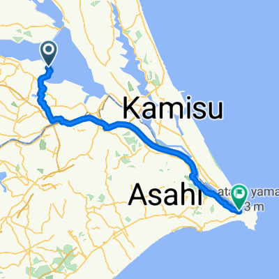
国定公園と古墳巡りコース
A cycling route starting in Inashiki, Ibaraki, Japan.
Overview
About this route
- -:--
- Duration
- 11.3 km
- Distance
- 44 m
- Ascent
- 46 m
- Descent
- ---
- Avg. speed
- ---
- Max. altitude

Route quality
Waytypes & surfaces along the route
Waytypes
Quiet road
6 km
(53 %)
Road
0.5 km
(4 %)
Undefined
4.9 km
(43 %)
Surfaces
Paved
9.6 km
(85 %)
Paved (undefined)
5.3 km
(47 %)
Asphalt
4.3 km
(38 %)
Undefined
1.7 km
(15 %)
Continue with Bikemap
Use, edit, or download this cycling route
You would like to ride 国定公園と古墳巡りコース or customize it for your own trip? Here is what you can do with this Bikemap route:
Free features
- Save this route as favorite or in collections
- Copy & plan your own version of this route
- Sync your route with Garmin or Wahoo
Premium features
Free trial for 3 days, or one-time payment. More about Bikemap Premium.
- Navigate this route on iOS & Android
- Export a GPX / KML file of this route
- Create your custom printout (try it for free)
- Download this route for offline navigation
Discover more Premium features.
Get Bikemap PremiumFrom our community
Other popular routes starting in Inashiki
 Recovered Route
- Distance
- 30 km
- Ascent
- 36 m
- Descent
- 35 m
- Location
- Inashiki, Ibaraki, Japan
 Tsukuba Kasumigaura Ring Ring Road, 미호무라에서 니시시바초, 조시시까지
- Distance
- 72.2 km
- Ascent
- 151 m
- Descent
- 146 m
- Location
- Inashiki, Ibaraki, Japan
 美浦村満喫コース
- Distance
- 26.2 km
- Ascent
- 101 m
- Descent
- 103 m
- Location
- Inashiki, Ibaraki, Japan
 かすみがうら市 to かすみがうら市
- Distance
- 42.4 km
- Ascent
- 174 m
- Descent
- 170 m
- Location
- Inashiki, Ibaraki, Japan
 水と大地の軌跡! かすみがうら"ジオ"ライド
- Distance
- 31.7 km
- Ascent
- 94 m
- Descent
- 95 m
- Location
- Inashiki, Ibaraki, Japan
 405, Tabuse, Kasumigauraた-Shi to Tabuse, Kasumigaura-Shiや
- Distance
- 0.6 km
- Ascent
- 0 m
- Descent
- 3 m
- Location
- Inashiki, Ibaraki, Japan
 かすみがうら市 to かすみがうら市
- Distance
- 32.3 km
- Ascent
- 124 m
- Descent
- 122 m
- Location
- Inashiki, Ibaraki, Japan
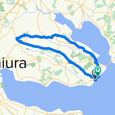
 国定公園と古墳巡りコース
- Distance
- 11.3 km
- Ascent
- 44 m
- Descent
- 46 m
- Location
- Inashiki, Ibaraki, Japan
Open it in the app