

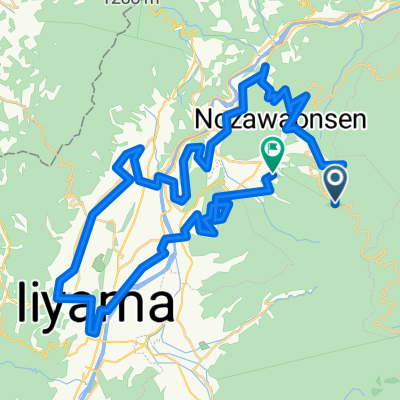
黒姫高原牧場めぐりルート
A cycling route starting in Iiyama, Nagano, Japan.
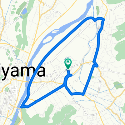
Overview
About this route
- -:--
- Duration
- 22.8 km
- Distance
- 443 m
- Ascent
- 443 m
- Descent
- ---
- Avg. speed
- ---
- Max. altitude

Route quality
Waytypes & surfaces along the route
Waytypes
Quiet road
15.5 km
(68 %)
Road
1.8 km
(8 %)
Surfaces
Paved
1.1 km
(5 %)
Paved (undefined)
0.9 km
(4 %)
Asphalt
0.2 km
(1 %)
Undefined
21.7 km
(95 %)
Continue with Bikemap
Use, edit, or download this cycling route
You would like to ride 黒姫高原牧場めぐりルート or customize it for your own trip? Here is what you can do with this Bikemap route:
Free features
- Save this route as favorite or in collections
- Copy & plan your own version of this route
- Sync your route with Garmin or Wahoo
Premium features
Free trial for 3 days, or one-time payment. More about Bikemap Premium.
- Navigate this route on iOS & Android
- Export a GPX / KML file of this route
- Create your custom printout (try it for free)
- Download this route for offline navigation
Discover more Premium features.
Get Bikemap PremiumFrom our community
Other popular routes starting in Iiyama
 8372番地4 まで7701−1
- Distance
- 64.5 km
- Ascent
- 905 m
- Descent
- 1,640 m
- Location
- Iiyama, Nagano, Japan
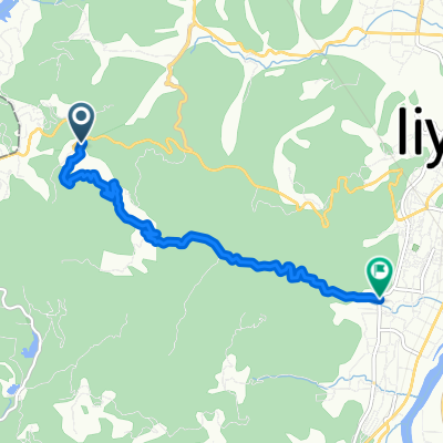
 Kurohime Station to Lake nojiri
- Distance
- 34.2 km
- Ascent
- 656 m
- Descent
- 654 m
- Location
- Iiyama, Nagano, Japan
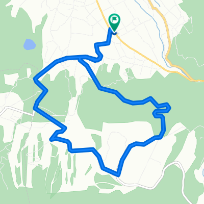
 Togari-Kijima-Nozawa loop
- Distance
- 39.4 km
- Ascent
- 778 m
- Descent
- 778 m
- Location
- Iiyama, Nagano, Japan
 木島平やまびこの丘ルート
- Distance
- 10.2 km
- Ascent
- 381 m
- Descent
- 381 m
- Location
- Iiyama, Nagano, Japan
 斑尾高原MTBツアーコース①
- Distance
- 7.2 km
- Ascent
- 61 m
- Descent
- 502 m
- Location
- Iiyama, Nagano, Japan
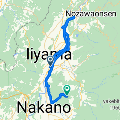 シートゥーサミット千曲川・高社山ルート
- Distance
- 37.6 km
- Ascent
- 1,429 m
- Descent
- 416 m
- Location
- Iiyama, Nagano, Japan
 斑尾高原MTBツアーコース②
- Distance
- 7.9 km
- Ascent
- 112 m
- Descent
- 570 m
- Location
- Iiyama, Nagano, Japan
 下木島, 飯山市へ下木島, 飯山市
- Distance
- 15.8 km
- Ascent
- 57 m
- Descent
- 48 m
- Location
- Iiyama, Nagano, Japan
Open it in the app