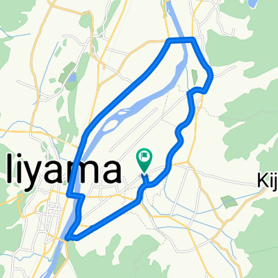
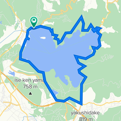
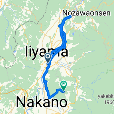
妙高山麓ルート
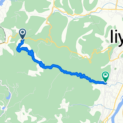
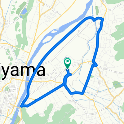
A cycling route starting in Iiyama, Nagano, Japan.
Overview
About this route
- -:--
- Duration
- 37.4 km
- Distance
- 506 m
- Ascent
- 997 m
- Descent
- ---
- Avg. speed
- ---
- Avg. speed
Route quality
Waytypes & surfaces along the route
Waytypes
Busy road
19.2 km
(51 %)
Road
8.5 km
(23 %)
Surfaces
Paved
4 km
(11 %)
Paved (undefined)
4 km
(11 %)
Undefined
33.4 km
(89 %)
Continue with Bikemap
Use, edit, or download this cycling route
You would like to ride 妙高山麓ルート or customize it for your own trip? Here is what you can do with this Bikemap route:
Free features
- Save this route as favorite or in collections
- Copy & plan your own version of this route
- Sync your route with Garmin or Wahoo
Premium features
Free trial for 3 days, or one-time payment. More about Bikemap Premium.
- Navigate this route on iOS & Android
- Export a GPX / KML file of this route
- Create your custom printout (try it for free)
- Download this route for offline navigation
Discover more Premium features.
Get Bikemap PremiumFrom our community
Other popular routes starting in Iiyama
- 馬曲温泉ルート
- Distance
- 16.2 km
- Ascent
- 453 m
- Descent
- 450 m
- Location
- Iiyama, Nagano, Japan
- Liyama to Takasaki
- Distance
- 164 km
- Ascent
- 2,799 m
- Descent
- 3,005 m
- Location
- Iiyama, Nagano, Japan
- Togari-Kijima-Nozawa loop
- Distance
- 39.4 km
- Ascent
- 778 m
- Descent
- 778 m
- Location
- Iiyama, Nagano, Japan
- 千曲川周遊 瑞穂菜の花公園ルート
- Distance
- 22 km
- Ascent
- 217 m
- Descent
- 216 m
- Location
- Iiyama, Nagano, Japan
- 千曲川周遊野沢・北竜湖・木島平ルート
- Distance
- 36.2 km
- Ascent
- 643 m
- Descent
- 642 m
- Location
- Iiyama, Nagano, Japan
- 妙高戸隠連山国立公園 信越五高原ルート
- Distance
- 105.4 km
- Ascent
- 2,841 m
- Descent
- 2,840 m
- Location
- Iiyama, Nagano, Japan
- シートゥーサミット妙高・野尻湖ルート
- Distance
- 29.8 km
- Ascent
- 1,989 m
- Descent
- 405 m
- Location
- Iiyama, Nagano, Japan
- Kurohime Station to Lake nojiri
- Distance
- 34.2 km
- Ascent
- 656 m
- Descent
- 654 m
- Location
- Iiyama, Nagano, Japan
Open it in the app