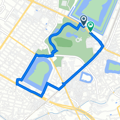
Tour of Japan 2014 Prologue
- 2.8 km
- 15 m
- 12 m
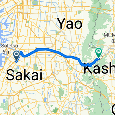
- Sakai, Osaka, Japan
A cycling route starting in Sakai, Osaka, Japan.
Overview
created this 5 years ago
Route quality
Quiet road
14.7 km
(53 %)
Road
6.4 km
(23 %)
Paved
10.3 km
(37 %)
Asphalt
5.8 km
(21 %)
Paved (undefined)
3.9 km
(14 %)
Continue with Bikemap
You would like to ride 五街道めぐりコース or customize it for your own trip? Here is what you can do with this Bikemap route:
Free trial for 3 days, or one-time payment. More about Bikemap Premium.
Discover more Premium features.
Get Bikemap PremiumFrom our community
Open it in the app