

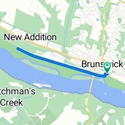
South Mountain Loop
A cycling route starting in Brunswick, Maryland, United States.
Overview
About this route
-- View in full at http://ridewithgps.com/routes/14180846
- -:--
- Duration
- 60.6 km
- Distance
- 885 m
- Ascent
- 886 m
- Descent
- ---
- Avg. speed
- ---
- Max. altitude

Route quality
Waytypes & surfaces along the route
Waytypes
Road
29 km
(48 %)
Quiet road
14.3 km
(24 %)
Surfaces
Paved
34.8 km
(57 %)
Unpaved
9.6 km
(16 %)
Asphalt
34.7 km
(57 %)
Ground
5 km
(8 %)
Continue with Bikemap
Use, edit, or download this cycling route
You would like to ride South Mountain Loop or customize it for your own trip? Here is what you can do with this Bikemap route:
Free features
- Save this route as favorite or in collections
- Copy & plan your own version of this route
- Sync your route with Garmin or Wahoo
Premium features
Free trial for 3 days, or one-time payment. More about Bikemap Premium.
- Navigate this route on iOS & Android
- Export a GPX / KML file of this route
- Create your custom printout (try it for free)
- Download this route for offline navigation
Discover more Premium features.
Get Bikemap PremiumFrom our community
Other popular routes starting in Brunswick
 18 S Maple Ave, Brunswick to 18 S Maple Ave, Brunswick
- Distance
- 4.2 km
- Ascent
- 23 m
- Descent
- 20 m
- Location
- Brunswick, Maryland, United States
 South Mountain Loop
- Distance
- 60.6 km
- Ascent
- 885 m
- Descent
- 886 m
- Location
- Brunswick, Maryland, United States
 Brunswick Cycling
- Distance
- 6 km
- Ascent
- 76 m
- Descent
- 80 m
- Location
- Brunswick, Maryland, United States
 Petersville Road 100, Brunswick to Ballenger Creek Pike 1519, Point of Rocks
- Distance
- 11.7 km
- Ascent
- 43 m
- Descent
- 54 m
- Location
- Brunswick, Maryland, United States
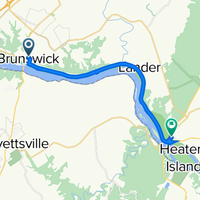
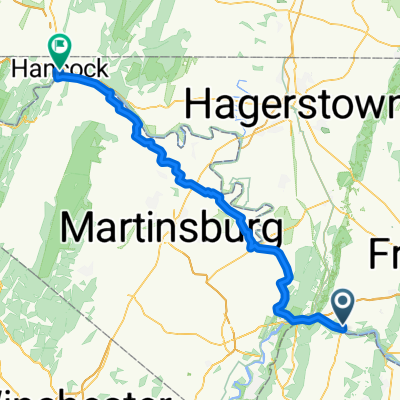 Brunswick - Hancock
- Distance
- 86.6 km
- Ascent
- 379 m
- Descent
- 334 m
- Location
- Brunswick, Maryland, United States
 South Maple Avenue 18, Brunswick to South Maple Avenue 220, Brunswick
- Distance
- 20.8 km
- Ascent
- 136 m
- Descent
- 102 m
- Location
- Brunswick, Maryland, United States
 South Maple Avenue 220, Brunswick to South Maple Avenue 220, Brunswick
- Distance
- 19.2 km
- Ascent
- 94 m
- Descent
- 59 m
- Location
- Brunswick, Maryland, United States
 S Maple Ave, Brunswick to S Maple Ave, Brunswick
- Distance
- 15.8 km
- Ascent
- 108 m
- Descent
- 108 m
- Location
- Brunswick, Maryland, United States
Open it in the app