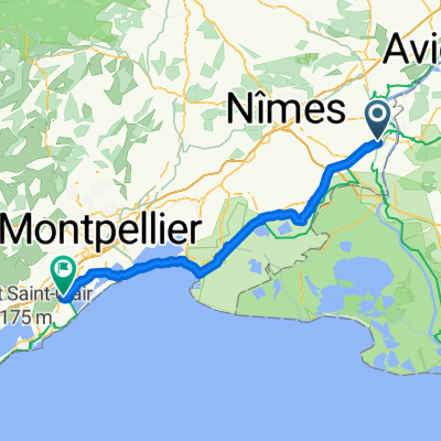
Day10 portsaintlouis
- 62.5 km
- 5 m
- 30 m
- Beaucaire, Occitanie, France
A cycling route starting in Beaucaire, Occitanie, France.
Overview
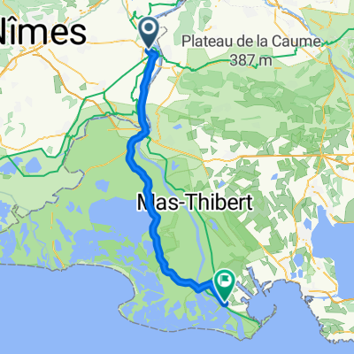
This route connects two towns rich in history: Beaucaire and its river port, which enlivens the heart of the town, deserves a stop before reaching Roman Arles with its extraordinary heritage. On small roads, ViaRhôna crosses a plain on a provisional marked route. Crops and orchards follow each other in this landscape crisscrossed by access roads to “mas” and irrigation canals. You enter Arles from the southwest of the town.
created this 5 years ago
Route quality
Road
9.1 km
(47 %)
Quiet road
8.3 km
(43 %)
Paved
18.5 km
(96 %)
Unpaved
0.2 km
(1 %)
Asphalt
18.5 km
(96 %)
Loose gravel
0.2 km
(1 %)
Undefined
0.6 km
(3 %)
Continue with Bikemap
You would like to ride 24: ViaRhôna de Beaucaire à Arles or customize it for your own trip? Here is what you can do with this Bikemap route:
Free trial for 3 days, or one-time payment. More about Bikemap Premium.
Discover more Premium features.
Get Bikemap PremiumFrom our community
Open it in the app