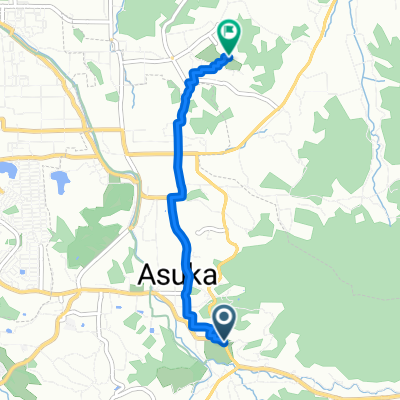
飛鳥御所ルート(C16)
A cycling route starting in Sakurai, Nara, Japan.
Overview
About this route
- -:--
- Duration
- 13.3 km
- Distance
- 114 m
- Ascent
- 120 m
- Descent
- ---
- Avg. speed
- ---
- Max. altitude
Route quality
Waytypes & surfaces along the route
Waytypes
Busy road
7.9 km
(60 %)
Quiet road
3.3 km
(25 %)
Surfaces
Paved
6.4 km
(48 %)
Paved (undefined)
4.7 km
(36 %)
Asphalt
1.7 km
(13 %)
Undefined
6.9 km
(52 %)
Continue with Bikemap
Use, edit, or download this cycling route
You would like to ride 飛鳥御所ルート(C16) or customize it for your own trip? Here is what you can do with this Bikemap route:
Free features
- Save this route as favorite or in collections
- Copy & plan your own version of this route
- Sync your route with Garmin or Wahoo
Premium features
Free trial for 3 days, or one-time payment. More about Bikemap Premium.
- Navigate this route on iOS & Android
- Export a GPX / KML file of this route
- Create your custom printout (try it for free)
- Download this route for offline navigation
Discover more Premium features.
Get Bikemap PremiumFrom our community
Other popular routes starting in Sakurai
- Sakurai - Wakayama (Keinawa cycling road)
- Distance
- 137.8 km
- Ascent
- 1,232 m
- Descent
- 1,306 m
- Location
- Sakurai, Nara, Japan
- 横大路ルート(C14)
- Distance
- 4.6 km
- Ascent
- 12 m
- Descent
- 22 m
- Location
- Sakurai, Nara, Japan
- SAKURAI KYOTO
- Distance
- 65.8 km
- Ascent
- 127 m
- Descent
- 154 m
- Location
- Sakurai, Nara, Japan
- 21-2, Asuka to 1-chōme 3, Ikaruga
- Distance
- 23 km
- Ascent
- 23 m
- Descent
- 113 m
- Location
- Sakurai, Nara, Japan
- いにしえのみやこをめぐる自転車の旅
- Distance
- 88 km
- Ascent
- 434 m
- Descent
- 539 m
- Location
- Sakurai, Nara, Japan
- ETAPA 13. Asuka - Kyoto
- Distance
- 70.8 km
- Ascent
- 100 m
- Descent
- 194 m
- Location
- Sakurai, Nara, Japan
- 明日香村 to 1214−1, 奈良市
- Distance
- 30.7 km
- Ascent
- 26 m
- Descent
- 6 m
- Location
- Sakurai, Nara, Japan
- 明日香村 to 明日香村
- Distance
- 5.5 km
- Ascent
- 33 m
- Descent
- 34 m
- Location
- Sakurai, Nara, Japan
Open it in the app