day 8
- 103.8 km
- 2,713 m
- 2,706 m
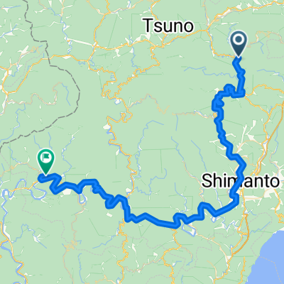
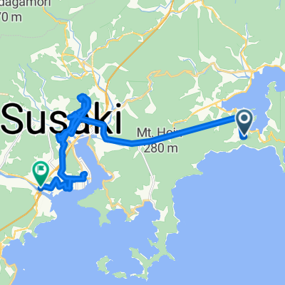
- Susaki, Kochi, Japan
A cycling route starting in Susaki, Kochi, Japan.
Overview
created this 6 years ago
Route quality
Quiet road
4.5 km
9 %
Pedestrian area
3 km
6 %
Paved
36.9 km
(74 %)
Asphalt
36.4 km
73 %
Paved (undefined)
0.5 km
1 %
Undefined
13 km
26 %
Continue with Bikemap
You would like to ride 横浪黒潮ラインコース or customize it for your own trip? Here is what you can do with this Bikemap route:
Free trial for 3 days, or one-time payment. More about Bikemap Premium.
Discover more Premium features.
Get Bikemap PremiumFrom our community
Open it in the app