

Dębina - Luboń - Puszczykowo - Rogalinek - Starołęka - Dębina
A cycling route starting in Luboń, Greater Poland Voivodeship, Poland.
Overview
About this route
The start of the route goes on asphalt until the turn-off from the road in Luboń. Then forest roads all the way to Puszczykowo. A stretch partly on asphalt, partly on unpaved road, and then through the forest. Part of the forest road to Wiorek is paved with slabs, but it isn't bad to ride on. From the exit to Poznańska in Wiorek, it's asphalt all the way to Starołęka, then crossing a footbridge and Dębina.
- 2 h 13 min
- Duration
- 33.9 km
- Distance
- 62 m
- Ascent
- 62 m
- Descent
- 15.3 km/h
- Avg. speed
- ---
- Max. altitude

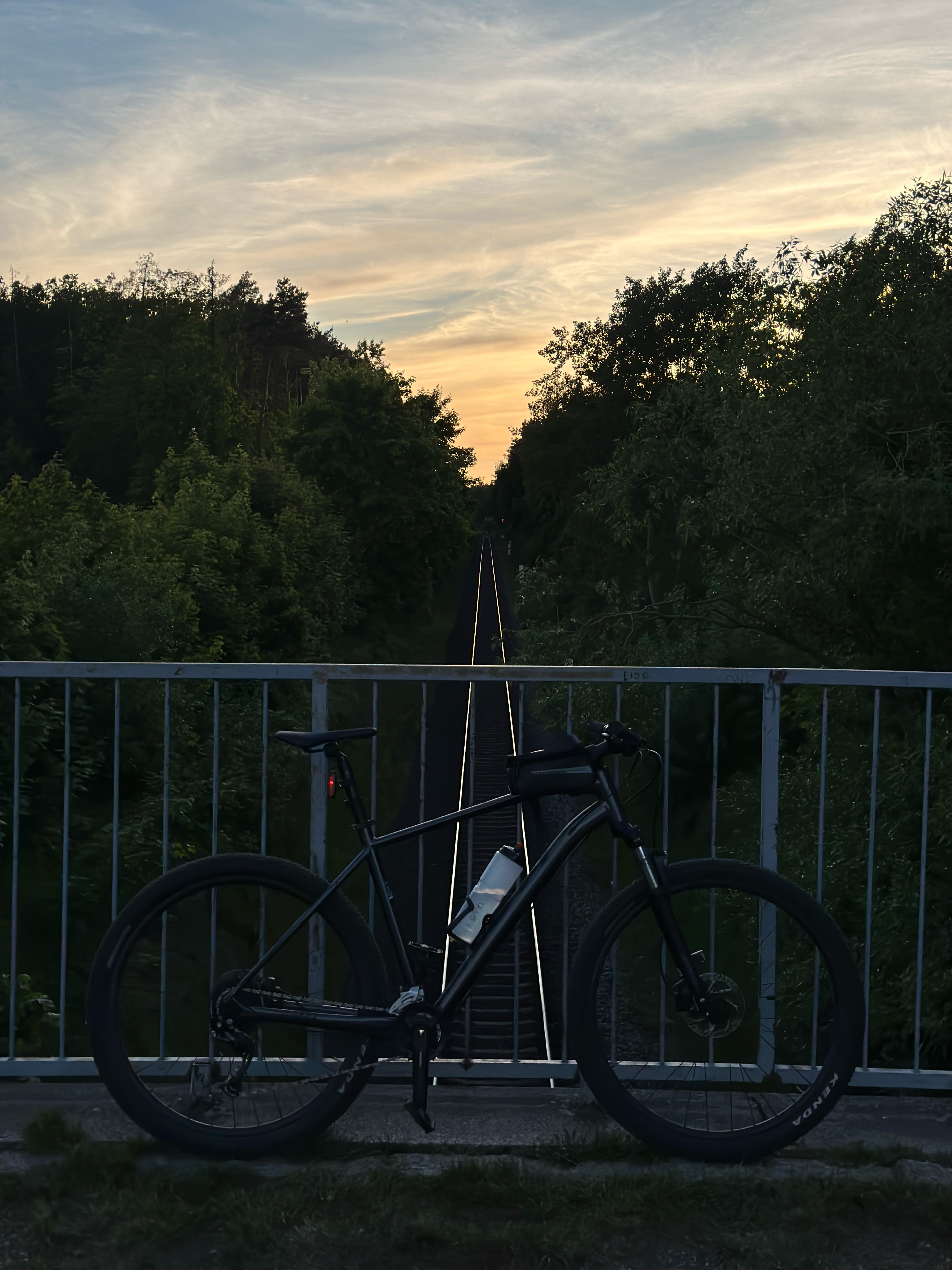
Route photos


Route quality
Waytypes & surfaces along the route
Waytypes
Path
15.2 km
(45 %)
Track
7.8 km
(23 %)
Surfaces
Paved
8.8 km
(26 %)
Unpaved
5.1 km
(15 %)
Asphalt
5.1 km
(15 %)
Paved (undefined)
3.7 km
(11 %)
Continue with Bikemap
Use, edit, or download this cycling route
You would like to ride Dębina - Luboń - Puszczykowo - Rogalinek - Starołęka - Dębina or customize it for your own trip? Here is what you can do with this Bikemap route:
Free features
- Save this route as favorite or in collections
- Copy & plan your own version of this route
- Sync your route with Garmin or Wahoo
Premium features
Free trial for 3 days, or one-time payment. More about Bikemap Premium.
- Navigate this route on iOS & Android
- Export a GPX / KML file of this route
- Create your custom printout (try it for free)
- Download this route for offline navigation
Discover more Premium features.
Get Bikemap PremiumFrom our community
Other popular routes starting in Luboń
 Kółko po lasach wzdłuż warty
- Distance
- 36.6 km
- Ascent
- 110 m
- Descent
- 111 m
- Location
- Luboń, Greater Poland Voivodeship, Poland
 Akwrn Tropicana
- Distance
- 63.4 km
- Ascent
- 171 m
- Descent
- 171 m
- Location
- Luboń, Greater Poland Voivodeship, Poland
 Dębina - Luboń - Puszczykowo - Rogalinek - Starołęka - Dębina
- Distance
- 33.9 km
- Ascent
- 62 m
- Descent
- 62 m
- Location
- Luboń, Greater Poland Voivodeship, Poland
 Szafirowa, Luboń do Szafirowa, Luboń
- Distance
- 18.3 km
- Ascent
- 79 m
- Descent
- 80 m
- Location
- Luboń, Greater Poland Voivodeship, Poland
 28.04.2023 2/2
- Distance
- 50.6 km
- Ascent
- 329 m
- Descent
- 312 m
- Location
- Luboń, Greater Poland Voivodeship, Poland
 Księdza Streicha 18, Luboń do Spacerowa 2, Ozorowice
- Distance
- 166.1 km
- Ascent
- 535 m
- Descent
- 474 m
- Location
- Luboń, Greater Poland Voivodeship, Poland
 Pożegowo i na Lody
- Distance
- 29.8 km
- Ascent
- 112 m
- Descent
- 113 m
- Location
- Luboń, Greater Poland Voivodeship, Poland
 Rowerem Do Puszczykowa Na Lody
- Distance
- 25.6 km
- Ascent
- 114 m
- Descent
- 94 m
- Location
- Luboń, Greater Poland Voivodeship, Poland
Open it in the app