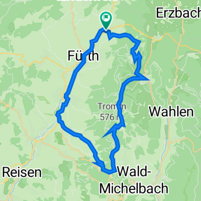
MTB2020,MLS
A cycling route starting in Fürth, Hesse, Germany.
Overview
About this route
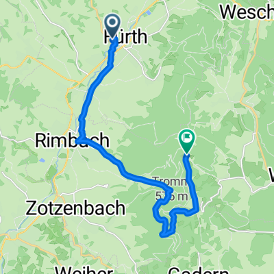
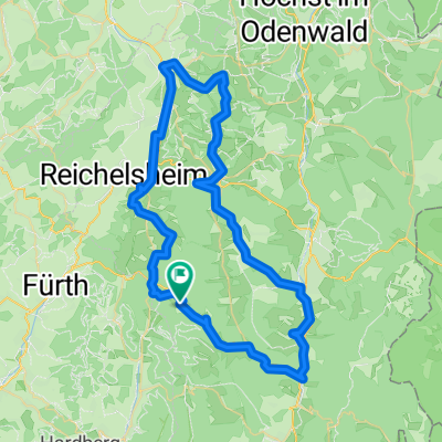
MLS, Kunstweg,Ellenb.,Seidenb. Eck,Schannenb.Eck, Funkmast Krehberg,Schannenb.,Gronauer Weg,Jägerrast,Mittersh., Igelsb.,Linnenb.,Finster Hölle, Inselstr.
- -:--
- Duration
- 29.7 km
- Distance
- 764 m
- Ascent
- 765 m
- Descent
- ---
- Avg. speed
- ---
- Avg. speed
Route quality
Waytypes & surfaces along the route
Waytypes
Track
22.5 km
(76 %)
Quiet road
5.1 km
(17 %)
Surfaces
Paved
9.6 km
(32 %)
Unpaved
18.7 km
(63 %)
Gravel
14.7 km
(49 %)
Asphalt
7.6 km
(26 %)
Continue with Bikemap
Use, edit, or download this cycling route
You would like to ride MTB2020,MLS or customize it for your own trip? Here is what you can do with this Bikemap route:
Free features
- Save this route as favorite or in collections
- Copy & plan your own version of this route
- Sync your route with Garmin or Wahoo
Premium features
Free trial for 3 days, or one-time payment. More about Bikemap Premium.
- Navigate this route on iOS & Android
- Export a GPX / KML file of this route
- Create your custom printout (try it for free)
- Download this route for offline navigation
Discover more Premium features.
Get Bikemap PremiumFrom our community
Other popular routes starting in Fürth
- 2019 Tour 05
- Distance
- 12.4 km
- Ascent
- 172 m
- Descent
- 169 m
- Location
- Fürth, Hesse, Germany
- Rundweg Fürth - Wegscheide
- Distance
- 32.7 km
- Ascent
- 659 m
- Descent
- 647 m
- Location
- Fürth, Hesse, Germany
- MTB2020,MLS
- Distance
- 29.7 km
- Ascent
- 764 m
- Descent
- 765 m
- Location
- Fürth, Hesse, Germany
- Fürth-Wechnitz-Tromm Rundweg
- Distance
- 24.9 km
- Ascent
- 638 m
- Descent
- 625 m
- Location
- Fürth, Hesse, Germany
- Fürth - Tromm - Siedelsbrunn - Weinheim - Fürth
- Distance
- 52.5 km
- Ascent
- 560 m
- Descent
- 562 m
- Location
- Fürth, Hesse, Germany
- Fürth-Grasellenbach-Olfen-Tromm-Fürth
- Distance
- 34.2 km
- Ascent
- 724 m
- Descent
- 724 m
- Location
- Fürth, Hesse, Germany
- Odenwaldhaus Hammelbach nach Süden
- Distance
- 90.1 km
- Ascent
- 1,193 m
- Descent
- 1,392 m
- Location
- Fürth, Hesse, Germany
- Führt - Wechnitz - Mossauer Hoehe - Marbach - Hammelbach - Rundweg
- Distance
- 57.2 km
- Ascent
- 751 m
- Descent
- 751 m
- Location
- Fürth, Hesse, Germany
Open it in the app