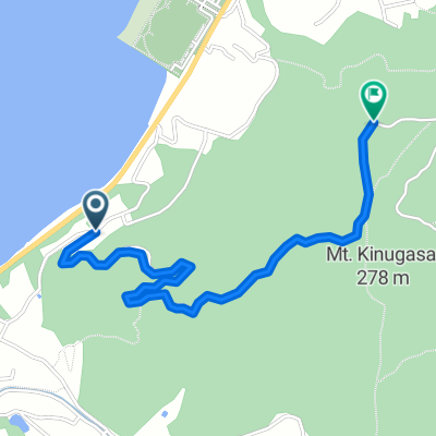
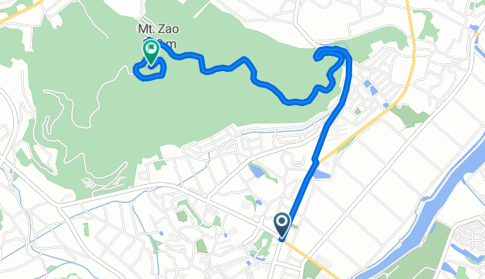
のぼリンヒルクラ(蔵王山東口)
A cycling route starting in Tahara, Aichi, Japan.
Overview
About this route
- -:--
- Duration
- 4.3 km
- Distance
- 270 m
- Ascent
- 25 m
- Descent
- ---
- Avg. speed
- ---
- Avg. speed
Route quality
Waytypes & surfaces along the route
Waytypes
Busy road
3.8 km
(88 %)
Quiet road
0.5 km
(11 %)
Surfaces
Paved
3.8 km
(88 %)
Paved (undefined)
3.8 km
(88 %)
Undefined
0.5 km
(12 %)
Continue with Bikemap
Use, edit, or download this cycling route
You would like to ride のぼリンヒルクラ(蔵王山東口) or customize it for your own trip? Here is what you can do with this Bikemap route:
Free features
- Save this route as favorite or in collections
- Copy & plan your own version of this route
- Sync your route with Garmin or Wahoo
Premium features
Free trial for 3 days, or one-time payment. More about Bikemap Premium.
- Navigate this route on iOS & Android
- Export a GPX / KML file of this route
- Create your custom printout (try it for free)
- Download this route for offline navigation
Discover more Premium features.
Get Bikemap PremiumFrom our community
Other popular routes starting in Tahara
- のぼリンヒルクラ(衣笠山北口)
- Distance
- 2.3 km
- Ascent
- 170 m
- Descent
- 25 m
- Location
- Tahara, Aichi, Japan
- 赤羽ロコステーション-伊良湖岬一周
- Distance
- 50.9 km
- Ascent
- 215 m
- Descent
- 214 m
- Location
- Tahara, Aichi, Japan
- あかばねロコステーション-伊良湖岬
- Distance
- 55.3 km
- Ascent
- 138 m
- Descent
- 137 m
- Location
- Tahara, Aichi, Japan
- length of Japan Tokaido Kakegawa city -Irago cape
- Distance
- 26.4 km
- Ascent
- 111 m
- Descent
- 141 m
- Location
- Tahara, Aichi, Japan
- あそびンレンタ(市街地環状(東)コース)
- Distance
- 5.2 km
- Ascent
- 38 m
- Descent
- 35 m
- Location
- Tahara, Aichi, Japan
- のぼリンヒルクラ(蔵王山南口)
- Distance
- 3.5 km
- Ascent
- 254 m
- Descent
- 43 m
- Location
- Tahara, Aichi, Japan
- atsumi-irago
- Distance
- 27.6 km
- Ascent
- 577 m
- Descent
- 391 m
- Location
- Tahara, Aichi, Japan
- のぼリンヒルクラ(滝頭観光道路西口)
- Distance
- 1.2 km
- Ascent
- 72 m
- Descent
- 0 m
- Location
- Tahara, Aichi, Japan
Open it in the app