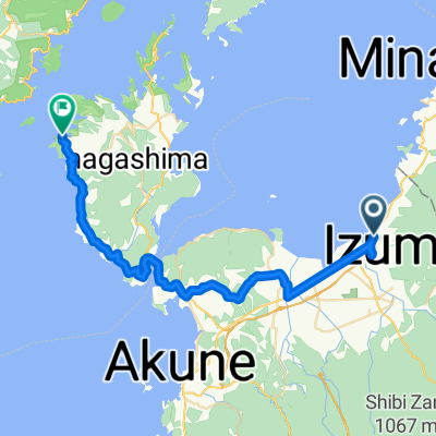
Izumi to Satsumasendai
- 54 km
- 181 m
- 183 m
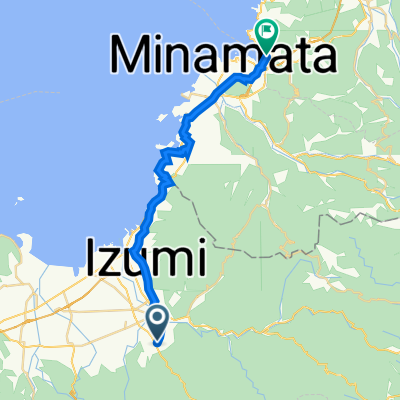
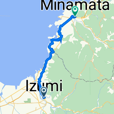
- Izumi, Kagoshima, Japan
A cycling route starting in Izumi, Kagoshima, Japan.
Overview
created this 6 years ago
Continue with Bikemap
You would like to ride 上場高原ヒルクライム挑戦コース or customize it for your own trip? Here is what you can do with this Bikemap route:
Free trial for 3 days, or one-time payment. More about Bikemap Premium.
Discover more Premium features.
Get Bikemap PremiumFrom our community
Open it in the app