

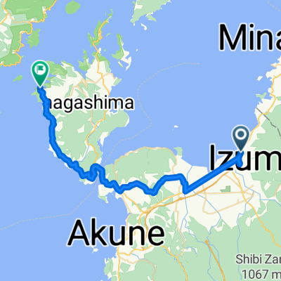
川平の巨石群と秘湯コース
A cycling route starting in Izumi, Kagoshima, Japan.
Overview
About this route
- -:--
- Duration
- 40.6 km
- Distance
- 610 m
- Ascent
- 609 m
- Descent
- ---
- Avg. speed
- ---
- Max. altitude

Continue with Bikemap
Use, edit, or download this cycling route
You would like to ride 川平の巨石群と秘湯コース or customize it for your own trip? Here is what you can do with this Bikemap route:
Free features
- Save this route as favorite or in collections
- Copy & plan your own version of this route
- Sync your route with Garmin or Wahoo
Premium features
Free trial for 3 days, or one-time payment. More about Bikemap Premium.
- Navigate this route on iOS & Android
- Export a GPX / KML file of this route
- Create your custom printout (try it for free)
- Download this route for offline navigation
Discover more Premium features.
Get Bikemap PremiumFrom our community
Other popular routes starting in Izumi
 07 - Hitoyoshi final
- Distance
- 67 km
- Ascent
- 986 m
- Descent
- 906 m
- Location
- Izumi, Kagoshima, Japan
 2007/05/02出水-蔵之元
- Distance
- 41.2 km
- Ascent
- 376 m
- Descent
- 380 m
- Location
- Izumi, Kagoshima, Japan
 8b - Kumamoto
- Distance
- 121.3 km
- Ascent
- 684 m
- Descent
- 693 m
- Location
- Izumi, Kagoshima, Japan
 4694, Takemoto, Izumi to Nanaura Orange Road, Tsunagi, Ashikita-Gun
- Distance
- 27.5 km
- Ascent
- 347 m
- Descent
- 416 m
- Location
- Izumi, Kagoshima, Japan
 kagoshima 2
- Distance
- 82.9 km
- Ascent
- 1,627 m
- Descent
- 1,632 m
- Location
- Izumi, Kagoshima, Japan
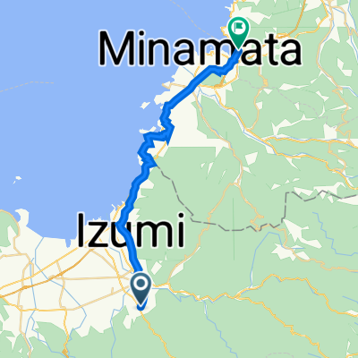
 4621, Takemoto, Izumi to 9, Saiwaimachi, Minamata
- Distance
- 22.6 km
- Ascent
- 224 m
- Descent
- 290 m
- Location
- Izumi, Kagoshima, Japan
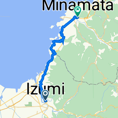 7-1, Showamachi, Izumi to 2-89, Jinnai 1-Chōme, Minamata
- Distance
- 19.6 km
- Ascent
- 228 m
- Descent
- 236 m
- Location
- Izumi, Kagoshima, Japan
 izumi to kagoshima
- Distance
- 112 km
- Ascent
- 626 m
- Descent
- 627 m
- Location
- Izumi, Kagoshima, Japan
Open it in the app