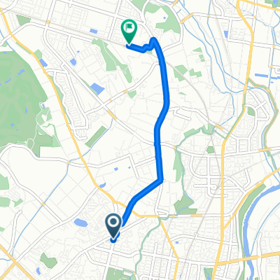
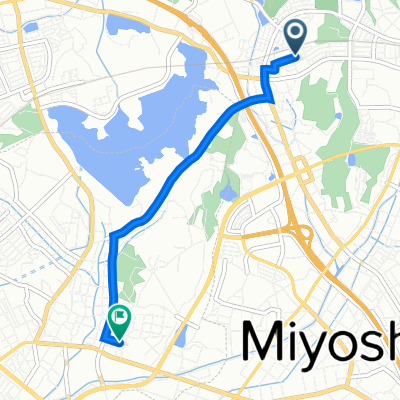
一般県道豊田安城自転車道線(豊田安城サイクリングロード)
A cycling route starting in Toyota, Aichi, Japan.
Overview
About this route
- -:--
- Duration
- 36.8 km
- Distance
- 205 m
- Ascent
- 231 m
- Descent
- ---
- Avg. speed
- ---
- Avg. speed
Route quality
Waytypes & surfaces along the route
Waytypes
Cycleway
26.1 km
(71 %)
Quiet road
6.5 km
(18 %)
Surfaces
Paved
6.2 km
(17 %)
Paved (undefined)
4 km
(11 %)
Asphalt
2.2 km
(6 %)
Undefined
30.6 km
(83 %)
Continue with Bikemap
Use, edit, or download this cycling route
You would like to ride 一般県道豊田安城自転車道線(豊田安城サイクリングロード) or customize it for your own trip? Here is what you can do with this Bikemap route:
Free features
- Save this route as favorite or in collections
- Copy & plan your own version of this route
- Sync your route with Garmin or Wahoo
Premium features
Free trial for 3 days, or one-time payment. More about Bikemap Premium.
- Navigate this route on iOS & Android
- Export a GPX / KML file of this route
- Create your custom printout (try it for free)
- Download this route for offline navigation
Discover more Premium features.
Get Bikemap PremiumFrom our community
Other popular routes starting in Toyota
- Eitakuji to Motoyama
- Distance
- 21.8 km
- Ascent
- 162 m
- Descent
- 268 m
- Location
- Toyota, Aichi, Japan
- 3-chōme 12, Nisshin to Nagisaen Camping Ground, Hamamatsu
- Distance
- 88.5 km
- Ascent
- 441 m
- Descent
- 503 m
- Location
- Toyota, Aichi, Japan
- De 89-1, Heiwacho 1-Chōme, Toyota a Kamiikecho 2-Chōme, Toyota
- Distance
- 18.6 km
- Ascent
- 234 m
- Descent
- 206 m
- Location
- Toyota, Aichi, Japan
- De Kamiikecho 2-Chōme, Toyota-Shi a Kawabatacho, Toyota-Shi
- Distance
- 10.3 km
- Ascent
- 12 m
- Descent
- 39 m
- Location
- Toyota, Aichi, Japan
- 豊田安城サイクリングロード
- Distance
- 2.4 km
- Ascent
- 9 m
- Descent
- 34 m
- Location
- Toyota, Aichi, Japan
- Miyoshi - Irako - Utsumi - Miyoshi
- Distance
- 187.9 km
- Ascent
- 350 m
- Descent
- 350 m
- Location
- Toyota, Aichi, Japan
- Recovered Route
- Distance
- 72 km
- Ascent
- 339 m
- Descent
- 390 m
- Location
- Toyota, Aichi, Japan
- Caminhada lenta Toyota-Shi
- Distance
- 16.6 km
- Ascent
- 125 m
- Descent
- 167 m
- Location
- Toyota, Aichi, Japan
Open it in the app