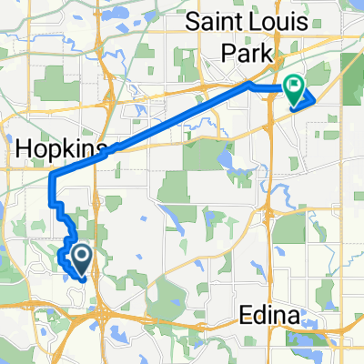
B2B00676 55439 > 55403 via Blake Rd, Kenilworth Trail
- 17.9 km
- 69 m
- 77 m
- Edina, Minnesota, United States
A cycling route starting in Edina, Minnesota, United States.
Overview
From Blake Road, protected bicycle trails (Kenilworth, Cedar Lake) all the way to downtown. 10th St bike lane will take you all the way to Nicollet Mall.
Route highlights
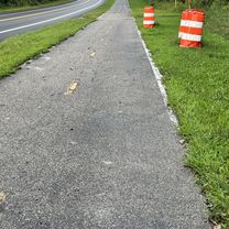
Hop up the sidewalk to 3rd Ave and 10th St intersection. Take 10th St bike lane all the way to Nicollet Mall.
Continue with Bikemap
You would like to ride B2B00676 55439 > 55403 via Blake Rd, Kenilworth Trail or customize it for your own trip? Here is what you can do with this Bikemap route:
Free trial for 3 days, or one-time payment. More about Bikemap Premium.
Discover more Premium features.
Get Bikemap PremiumFrom our community
Open it in the app