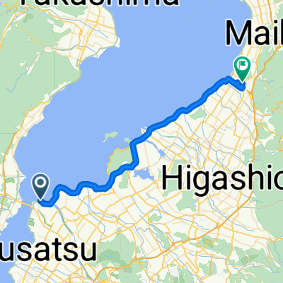
守山~琵琶湖大橋~朽木・高島ルート
A cycling route starting in Kitahama, Shiga Prefecture, Japan.
Overview
About this route
- -:--
- Duration
- 91.6 km
- Distance
- 1,075 m
- Ascent
- 1,074 m
- Descent
- ---
- Avg. speed
- ---
- Avg. speed
Continue with Bikemap
Use, edit, or download this cycling route
You would like to ride 守山~琵琶湖大橋~朽木・高島ルート or customize it for your own trip? Here is what you can do with this Bikemap route:
Free features
- Save this route as favorite or in collections
- Copy & plan your own version of this route
- Sync your route with Garmin or Wahoo
Premium features
Free trial for 3 days, or one-time payment. More about Bikemap Premium.
- Navigate this route on iOS & Android
- Export a GPX / KML file of this route
- Create your custom printout (try it for free)
- Download this route for offline navigation
Discover more Premium features.
Get Bikemap PremiumFrom our community
Other popular routes starting in Kitahama
- Biwa Part 1
- Distance
- 75.7 km
- Ascent
- 204 m
- Descent
- 203 m
- Location
- Kitahama, Shiga Prefecture, Japan
- Biwa Part 1
- Distance
- 150.9 km
- Ascent
- 242 m
- Descent
- 227 m
- Location
- Kitahama, Shiga Prefecture, Japan
- lake biwa
- Distance
- 72.1 km
- Ascent
- 187 m
- Descent
- 155 m
- Location
- Kitahama, Shiga Prefecture, Japan
- Lake Biwa Time Trial
- Distance
- 39 km
- Ascent
- 266 m
- Descent
- 270 m
- Location
- Kitahama, Shiga Prefecture, Japan
- From hostel to Shirahige Shrine
- Distance
- 8 km
- Ascent
- 21 m
- Descent
- 20 m
- Location
- Kitahama, Shiga Prefecture, Japan
- 志賀駅, 大津市 to 志賀駅, 大津市
- Distance
- 148.3 km
- Ascent
- 131 m
- Descent
- 168 m
- Location
- Kitahama, Shiga Prefecture, Japan
- 2876-1, Imahamacho, Moriyama-Shi to Sazanami-kaido Street, Moriyama-Shi
- Distance
- 70 km
- Ascent
- 648 m
- Descent
- 648 m
- Location
- Kitahama, Shiga Prefecture, Japan
- 守山~瀬田・信楽・草津ルート
- Distance
- 92.1 km
- Ascent
- 1,081 m
- Descent
- 1,078 m
- Location
- Kitahama, Shiga Prefecture, Japan
Open it in the app