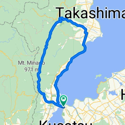
2876-1, Imahamacho, Moriyama-Shi to Sazanami-kaido Street, Moriyama-Shi
- 70 km
- 648 m
- 648 m
- Kitahama, Shiga Prefecture, Japan
A cycling route starting in Kitahama, Shiga Prefecture, Japan.
Overview
created this 5 years ago
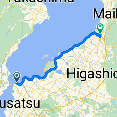
Route quality
Cycleway
23.9 km
(26 %)
Quiet road
22.1 km
(24 %)
Paved
48.8 km
(53 %)
Paved (undefined)
47.9 km
(52 %)
Asphalt
0.9 km
(1 %)
Undefined
43.3 km
(47 %)
Continue with Bikemap
You would like to ride 守山~瀬田・信楽・草津ルート or customize it for your own trip? Here is what you can do with this Bikemap route:
Free trial for 3 days, or one-time payment. More about Bikemap Premium.
Discover more Premium features.
Get Bikemap PremiumFrom our community
Open it in the app