沖繩_Day 3
- 50.3 km
- 372 m
- 375 m
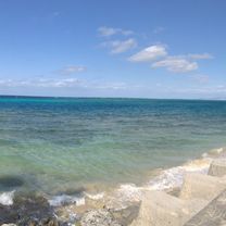
- Nago, Okinawa, Japan
A cycling route starting in Nago, Okinawa, Japan.
Overview
created this 5 years ago
Route quality
Cycleway
7.9 km
(37 %)
Quiet road
3.8 km
(18 %)
Paved
17.7 km
(83 %)
Asphalt
17.3 km
(81 %)
Paved (undefined)
0.4 km
(2 %)
Undefined
3.6 km
(17 %)
Continue with Bikemap
You would like to ride 羽地周遊コース or customize it for your own trip? Here is what you can do with this Bikemap route:
Free trial for 3 days, or one-time payment. More about Bikemap Premium.
Discover more Premium features.
Get Bikemap PremiumFrom our community
Open it in the app