1909−6 まで3丁目
- 308 km
- 2,060 m
- 2,115 m
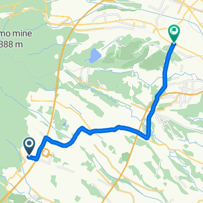
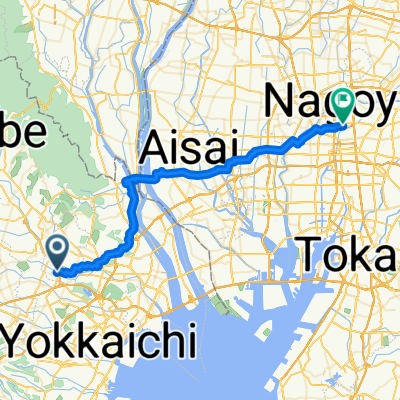
- Komono, Mie, Japan
A cycling route starting in Komono, Mie, Japan.
Overview
created this 5 years ago
Route quality
Road
6.7 km
(51 %)
Quiet road
1.6 km
(12 %)
Undefined
4.8 km
(37 %)
Paved
11.8 km
(90 %)
Paved (undefined)
7.5 km
(57 %)
Asphalt
4.3 km
(33 %)
Undefined
1.3 km
(10 %)
Continue with Bikemap
You would like to ride サイクルパスコース or customize it for your own trip? Here is what you can do with this Bikemap route:
Free trial for 3 days, or one-time payment. More about Bikemap Premium.
Discover more Premium features.
Get Bikemap PremiumFrom our community
Open it in the app