Rouen - le Havre // mardi pour une expo
- 81.3 km
- 202 m
- 292 m
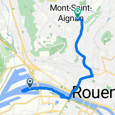
- Canteleu, Normandy, France
Canteleu, Montigny (gravel path a few hundred meters), Maromme, Notre-Dame-De-Bondeville, Mont-Saint-Aignan, Rouen via Route de Neufchatel, then line T4, Quays Rive droite towards Quevillon, then return to Canteleu via forest road (paved)
Circuit completed on 06/06/20, my impressions:
Path
15.1 km27 %Road
10.1 km18 %Paved
44.2 km(79 %)Unpaved
3.9 km(7 %)Asphalt
44.2 km79 %Ground
2.2 km4 %Free trial for 3 days, or one-time payment. More about Bikemap Premium.
Discover more Premium features.
Get Bikemap PremiumOpen it in the app