workout
A cycling route starting in Plymouth, Minnesota, United States.
Overview
About this route
- 9 min
- Duration
- 1.7 km
- Distance
- 13 m
- Ascent
- 13 m
- Descent
- 11.8 km/h
- Avg. speed
- ---
- Max. altitude
Route quality
Waytypes & surfaces along the route
Waytypes
Quiet road
1 km
(61 %)
Cycleway
0.7 km
(39 %)
Surfaces
Paved
1.7 km
(100 %)
Asphalt
1.7 km
(100 %)
Continue with Bikemap
Use, edit, or download this cycling route
You would like to ride workout or customize it for your own trip? Here is what you can do with this Bikemap route:
Free features
- Save this route as favorite or in collections
- Copy & plan your own version of this route
- Sync your route with Garmin or Wahoo
Premium features
Free trial for 3 days, or one-time payment. More about Bikemap Premium.
- Navigate this route on iOS & Android
- Export a GPX / KML file of this route
- Create your custom printout (try it for free)
- Download this route for offline navigation
Discover more Premium features.
Get Bikemap PremiumFrom our community
Other popular routes starting in Plymouth
Medicine Lake- Distance
- 12.4 km
- Ascent
- 94 m
- Descent
- 94 m
- Location
- Plymouth, Minnesota, United States
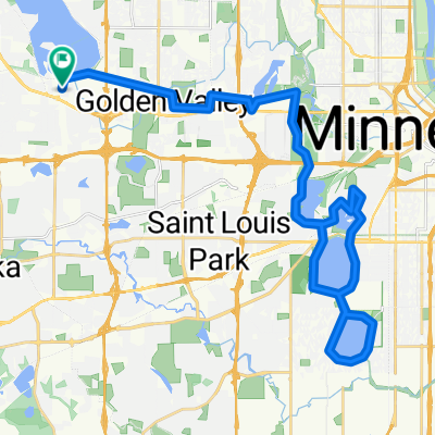
Home to Long Lake Wayzata Loop- Distance
- 24.6 km
- Ascent
- 155 m
- Descent
- 139 m
- Location
- Plymouth, Minnesota, United States
Dakota Rail Trail from East Medicine Lake- Distance
- 54.1 km
- Ascent
- 94 m
- Descent
- 75 m
- Location
- Plymouth, Minnesota, United States
Route to Wayzata Boulevard 13126, Hopkins- Distance
- 3.6 km
- Ascent
- 45 m
- Descent
- 0 m
- Location
- Plymouth, Minnesota, United States
B2B00772 55311>55403 via Luce Line, Glenwood Av- Distance
- 19.5 km
- Ascent
- 59 m
- Descent
- 100 m
- Location
- Plymouth, Minnesota, United States
Around Medicine Lake BikeMap- Distance
- 13 km
- Ascent
- 110 m
- Descent
- 108 m
- Location
- Plymouth, Minnesota, United States
Plymouth Hwy 6 to Town Line to Hwy 24 back- Distance
- 35.6 km
- Ascent
- 176 m
- Descent
- 176 m
- Location
- Plymouth, Minnesota, United States
Champlin- Distance
- 31.8 km
- Ascent
- 326 m
- Descent
- 337 m
- Location
- Plymouth, Minnesota, United States
Open it in the app


