Rundkurs ab Röthlein
A cycling route starting in Röthlein, Bavaria, Germany.
Overview
About this route
Circuit from Röthlein to the romantic Prichsenstadt and then to Volkach
- -:--
- Duration
- 61.5 km
- Distance
- 199 m
- Ascent
- 202 m
- Descent
- ---
- Avg. speed
- 268 m
- Max. altitude
Route quality
Waytypes & surfaces along the route
Waytypes
Track
21.5 km
(35 %)
Path
12.9 km
(21 %)
Surfaces
Paved
44.9 km
(73 %)
Unpaved
6.8 km
(11 %)
Asphalt
40 km
(65 %)
Paved (undefined)
4.9 km
(8 %)
Continue with Bikemap
Use, edit, or download this cycling route
You would like to ride Rundkurs ab Röthlein or customize it for your own trip? Here is what you can do with this Bikemap route:
Free features
- Save this route as favorite or in collections
- Copy & plan your own version of this route
- Sync your route with Garmin or Wahoo
Premium features
Free trial for 3 days, or one-time payment. More about Bikemap Premium.
- Navigate this route on iOS & Android
- Export a GPX / KML file of this route
- Create your custom printout (try it for free)
- Download this route for offline navigation
Discover more Premium features.
Get Bikemap PremiumFrom our community
Other popular routes starting in Röthlein
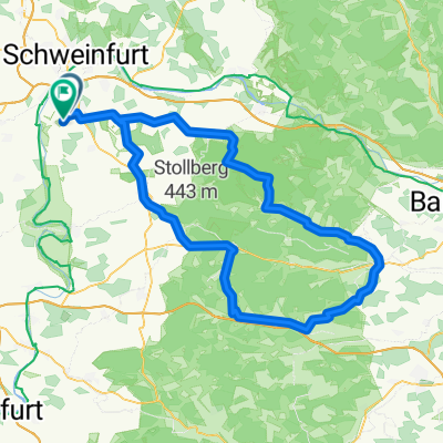
- Weinbergstraße 42, Bergrheinfeld nach Gustav-Adolf-Straße 10, Schweinfurt
- Distance
- 12 km
- Ascent
- 59 m
- Descent
- 82 m
- Location
- Röthlein, Bavaria, Germany
- 3 Tage Main-Frankentour Garstadt-Würzburg-Bamberg-Garstadt
- Distance
- 252.5 km
- Ascent
- 359 m
- Descent
- 358 m
- Location
- Röthlein, Bavaria, Germany
- Mozartstraße 3, Röthlein nach Bahnhofsplatz 3, Karlstadt
- Distance
- 45.8 km
- Ascent
- 401 m
- Descent
- 448 m
- Location
- Röthlein, Bavaria, Germany
- ¿ˇ˙? nach ¿ˇ˙?
- Distance
- 5.6 km
- Ascent
- 21 m
- Descent
- 96 m
- Location
- Röthlein, Bavaria, Germany
- Steigerwald
- Distance
- 121 km
- Ascent
- 565 m
- Descent
- 564 m
- Location
- Röthlein, Bavaria, Germany
- Rundkurs ab Röthlein
- Distance
- 61.5 km
- Ascent
- 199 m
- Descent
- 202 m
- Location
- Röthlein, Bavaria, Germany
- Garstadt nach Volkach
- Distance
- 16.4 km
- Ascent
- 66 m
- Descent
- 64 m
- Location
- Röthlein, Bavaria, Germany
- Friedhofstraße 17, Röthlein nach Friedhofstraße 19, Röthlein
- Distance
- 56.7 km
- Ascent
- 228 m
- Descent
- 273 m
- Location
- Röthlein, Bavaria, Germany
Open it in the app