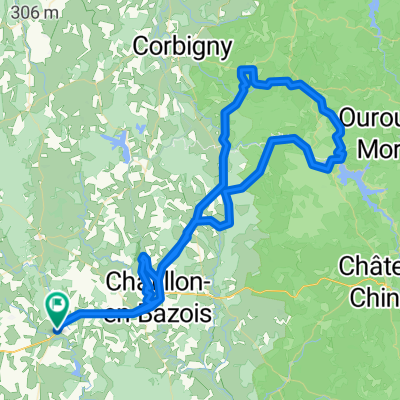
Tamnay - Tour de Bourgogne
A cycling route starting in Châtillon-en-Bazois, Bourgogne-Franche-Comté, France.
Overview
About this route
- -:--
- Duration
- 52.2 km
- Distance
- 203 m
- Ascent
- 205 m
- Descent
- ---
- Avg. speed
- ---
- Max. altitude
Route quality
Waytypes & surfaces along the route
Waytypes
Cycleway
23.5 km
(45 %)
Road
17.2 km
(33 %)
Surfaces
Paved
26.6 km
(51 %)
Asphalt
26.6 km
(51 %)
Undefined
25.6 km
(49 %)
Continue with Bikemap
Use, edit, or download this cycling route
You would like to ride Tamnay - Tour de Bourgogne or customize it for your own trip? Here is what you can do with this Bikemap route:
Free features
- Save this route as favorite or in collections
- Copy & plan your own version of this route
- Sync your route with Garmin or Wahoo
Premium features
Free trial for 3 days, or one-time payment. More about Bikemap Premium.
- Navigate this route on iOS & Android
- Export a GPX / KML file of this route
- Create your custom printout (try it for free)
- Download this route for offline navigation
Discover more Premium features.
Get Bikemap PremiumFrom our community
Other popular routes starting in Châtillon-en-Bazois
- Chatillon-Breves
- Distance
- 52.2 km
- Ascent
- 109 m
- Descent
- 184 m
- Location
- Châtillon-en-Bazois, Bourgogne-Franche-Comté, France
- TOUR BORGOGNA -6^tappa Chatillon en bezois-Bourbon lancy
- Distance
- 83.2 km
- Ascent
- 200 m
- Descent
- 154 m
- Location
- Châtillon-en-Bazois, Bourgogne-Franche-Comté, France
- ChâtillonEnBazois_Champvert
- Distance
- 36.7 km
- Ascent
- 275 m
- Descent
- 313 m
- Location
- Châtillon-en-Bazois, Bourgogne-Franche-Comté, France
- Aunay - Saint Maurice - Étang de Baye
- Distance
- 37.1 km
- Ascent
- 299 m
- Descent
- 296 m
- Location
- Châtillon-en-Bazois, Bourgogne-Franche-Comté, France
- Tamnay - Tour de Bourgogne
- Distance
- 52.2 km
- Ascent
- 203 m
- Descent
- 205 m
- Location
- Châtillon-en-Bazois, Bourgogne-Franche-Comté, France
- Tamnay Panneçot
- Distance
- 59.5 km
- Ascent
- 397 m
- Descent
- 397 m
- Location
- Châtillon-en-Bazois, Bourgogne-Franche-Comté, France
- Bourgogne 6. Etappe Châtillon en Bazois, Dornecy
- Distance
- 65.1 km
- Ascent
- 228 m
- Descent
- 298 m
- Location
- Châtillon-en-Bazois, Bourgogne-Franche-Comté, France
- Une course fulgurante
- Distance
- 101.9 km
- Ascent
- 982 m
- Descent
- 976 m
- Location
- Châtillon-en-Bazois, Bourgogne-Franche-Comté, France
Open it in the app