

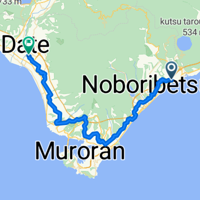
上級コース
A cycling route starting in Shiraoi, Hokkaido, Japan.
Overview
About this route
- -:--
- Duration
- 113.5 km
- Distance
- 2,623 m
- Ascent
- 2,623 m
- Descent
- ---
- Avg. speed
- ---
- Max. altitude

Route quality
Waytypes & surfaces along the route
Waytypes
Road
30.6 km
(27 %)
Quiet road
13.6 km
(12 %)
Surfaces
Paved
32.9 km
(29 %)
Asphalt
31.8 km
(28 %)
Paved (undefined)
1.1 km
(1 %)
Undefined
80.6 km
(71 %)
Continue with Bikemap
Use, edit, or download this cycling route
You would like to ride 上級コース or customize it for your own trip? Here is what you can do with this Bikemap route:
Free features
- Save this route as favorite or in collections
- Copy & plan your own version of this route
- Split it into stages to create a multi-day tour
- Sync your route with Garmin or Wahoo
Premium features
Free trial for 3 days, or one-time payment. More about Bikemap Premium.
- Navigate this route on iOS & Android
- Export a GPX / KML file of this route
- Create your custom printout (try it for free)
- Download this route for offline navigation
Discover more Premium features.
Get Bikemap PremiumFrom our community
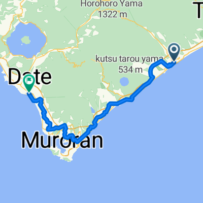
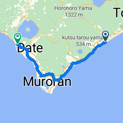
Other popular routes starting in Shiraoi
 Solo week
- Distance
- 246 km
- Ascent
- 2,725 m
- Descent
- 2,708 m
- Location
- Shiraoi, Hokkaido, Japan
 Shiraoi - Date
- Distance
- 51.8 km
- Ascent
- 709 m
- Descent
- 732 m
- Location
- Shiraoi, Hokkaido, Japan
 Route to 壮瞥町
- Distance
- 78.1 km
- Ascent
- 862 m
- Descent
- 861 m
- Location
- Shiraoi, Hokkaido, Japan
 上級コース
上級コース- Distance
- 113.5 km
- Ascent
- 2,623 m
- Descent
- 2,623 m
- Location
- Shiraoi, Hokkaido, Japan
 Alt. route Hell Valley - Lake Toya
- Distance
- 63.7 km
- Ascent
- 522 m
- Descent
- 591 m
- Location
- Shiraoi, Hokkaido, Japan
 Shiraoi - Date
- Distance
- 75.3 km
- Ascent
- 700 m
- Descent
- 682 m
- Location
- Shiraoi, Hokkaido, Japan
 R07_登别谷-支芴湖
- Distance
- 87.7 km
- Ascent
- 371 m
- Descent
- 317 m
- Location
- Shiraoi, Hokkaido, Japan
 Noboribetsu>Murano>洞爺湖
- Distance
- 82 km
- Ascent
- 656 m
- Descent
- 745 m
- Location
- Shiraoi, Hokkaido, Japan
Open it in the app