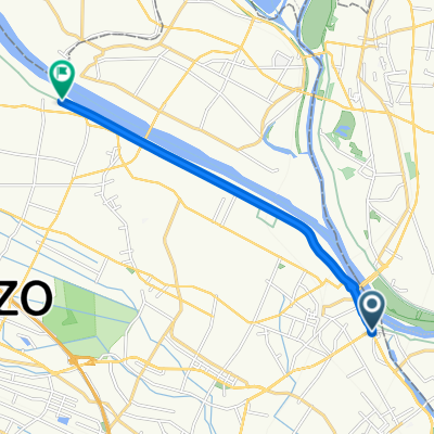
利根川自転車道(一般県道利根川自転車道線)
A cycling route starting in Kurihashi, Saitama, Japan.
Overview
About this route
- -:--
- Duration
- 91.6 km
- Distance
- 397 m
- Ascent
- 225 m
- Descent
- ---
- Avg. speed
- ---
- Max. altitude
Continue with Bikemap
Use, edit, or download this cycling route
You would like to ride 利根川自転車道(一般県道利根川自転車道線) or customize it for your own trip? Here is what you can do with this Bikemap route:
Free features
- Save this route as favorite or in collections
- Copy & plan your own version of this route
- Split it into stages to create a multi-day tour
- Sync your route with Garmin or Wahoo
Premium features
Free trial for 3 days, or one-time payment. More about Bikemap Premium.
- Navigate this route on iOS & Android
- Export a GPX / KML file of this route
- Create your custom printout (try it for free)
- Download this route for offline navigation
Discover more Premium features.
Get Bikemap PremiumFrom our community
Other popular routes starting in Kurihashi
五霞町 to 7丁目 15, 江戸川区- Distance
- 68.5 km
- Ascent
- 137 m
- Descent
- 145 m
- Location
- Kurihashi, Saitama, Japan
Kurihashi - Kazo- Distance
- 10 km
- Ascent
- 4 m
- Descent
- 0 m
- Location
- Kurihashi, Saitama, Japan
20, Happo 1-Chōme, Kuki to 959-3, Shimohideya, Okegawa- Distance
- 27.2 km
- Ascent
- 12 m
- Descent
- 20 m
- Location
- Kurihashi, Saitama, Japan
佐波258-1, 加須市 to 県道9号, 加須市- Distance
- 4.9 km
- Ascent
- 29 m
- Descent
- 19 m
- Location
- Kurihashi, Saitama, Japan
Nakadashinden, Koga-Shi to 10, Sakae 1-Chōme, Kuki-Shi- Distance
- 46.2 km
- Ascent
- 93 m
- Descent
- 104 m
- Location
- Kurihashi, Saitama, Japan
21-12, Kurihashihigashi 4-Chōme, Kuki to 20, Happo 1-Chōme, Kuki- Distance
- 4.3 km
- Ascent
- 3 m
- Descent
- 3 m
- Location
- Kurihashi, Saitama, Japan
久喜市 to 渋川市- Distance
- 93.8 km
- Ascent
- 308 m
- Descent
- 131 m
- Location
- Kurihashi, Saitama, Japan
利根川CR 栗橋〜香取- Distance
- 124.8 km
- Ascent
- 33 m
- Descent
- 43 m
- Location
- Kurihashi, Saitama, Japan
Open it in the app


