

73 のびのび宮代町を楽しむルート
A cycling route starting in Sugito, Saitama, Japan.
Overview
About this route
- -:--
- Duration
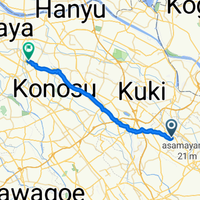
- 17.1 km
- Distance
- 58 m
- Ascent
- 60 m
- Descent
- ---
- Avg. speed
- ---
- Max. altitude

Route quality
Waytypes & surfaces along the route
Waytypes
Quiet road
9.6 km
(56 %)
Road
2.6 km
(15 %)
Continue with Bikemap
Use, edit, or download this cycling route
You would like to ride 73 のびのび宮代町を楽しむルート or customize it for your own trip? Here is what you can do with this Bikemap route:
Free features
- Save this route as favorite or in collections
- Copy & plan your own version of this route
- Sync your route with Garmin or Wahoo
Premium features
Free trial for 3 days, or one-time payment. More about Bikemap Premium.
- Navigate this route on iOS & Android
- Export a GPX / KML file of this route
- Create your custom printout (try it for free)
- Download this route for offline navigation
Discover more Premium features.
Get Bikemap PremiumFrom our community
Other popular routes starting in Sugito
 木崎450, 春日部市 to 粕壁1丁目10, 春日部市
- Distance
- 8.3 km
- Ascent
- 11 m
- Descent
- 8 m
- Location
- Sugito, Saitama, Japan
 4045, Tsutsumine, Sugito-Machi, Kitakatsushika-Gun to 2871-3, Fudoinno, Kasukabe-Shi
- Distance
- 44.8 km
- Ascent
- 10 m
- Descent
- 10 m
- Location
- Sugito, Saitama, Japan
 74 道の駅アグリパークゆめずきとと七福神を巡るルート
- Distance
- 32.6 km
- Ascent
- 27 m
- Descent
- 25 m
- Location
- Sugito, Saitama, Japan
 73 のびのび宮代町を楽しむルート
- Distance
- 17.1 km
- Ascent
- 58 m
- Descent
- 60 m
- Location
- Sugito, Saitama, Japan
 本田4丁目, 宮代町へ埼玉, 行田市
- Distance
- 28.4 km
- Ascent
- 59 m
- Descent
- 48 m
- Location
- Sugito, Saitama, Japan
 本田4丁目, 宮代町へ藤岡町内野, 栃木市
- Distance
- 36.7 km
- Ascent
- 65 m
- Descent
- 58 m
- Location
- Sugito, Saitama, Japan
Open it in the app