2 三大河川巡りでぐるり埼玉づくしルート
A cycling route starting in Nagareyama, Chiba, Japan.
Overview
About this route
- -:--
- Duration
- 152.2 km
- Distance
- 454 m
- Ascent
- 454 m
- Descent
- ---
- Avg. speed
- ---
- Max. altitude
Continue with Bikemap
Use, edit, or download this cycling route
You would like to ride 2 三大河川巡りでぐるり埼玉づくしルート or customize it for your own trip? Here is what you can do with this Bikemap route:
Free features
- Save this route as favorite or in collections
- Copy & plan your own version of this route
- Split it into stages to create a multi-day tour
- Sync your route with Garmin or Wahoo
Premium features
Free trial for 3 days, or one-time payment. More about Bikemap Premium.
- Navigate this route on iOS & Android
- Export a GPX / KML file of this route
- Create your custom printout (try it for free)
- Download this route for offline navigation
Discover more Premium features.
Get Bikemap PremiumFrom our community
Other popular routes starting in Nagareyama
- 🇯🇵 JPN D13-17 TOKYO
- Distance
- 504.5 km
- Ascent
- 269 m
- Descent
- 265 m
- Location
- Nagareyama, Chiba, Japan
- 26 なまずの里吉川ルート
- Distance
- 30.6 km
- Ascent
- 42 m
- Descent
- 37 m
- Location
- Nagareyama, Chiba, Japan
- 稳定的乘坐 三乡市
- Distance
- 106 km
- Ascent
- 1,022 m
- Descent
- 1,028 m
- Location
- Nagareyama, Chiba, Japan
- 🇯🇵 JPN D17 Powrót NARITA - Poznan
- Distance
- 62.8 km
- Ascent
- 114 m
- Descent
- 100 m
- Location
- Nagareyama, Chiba, Japan
- 県道52号, Misato to 1-5, Yachiyodainishi 1-Chōme, Yachiyo
- Distance
- 29.3 km
- Ascent
- 0 m
- Descent
- 6 m
- Location
- Nagareyama, Chiba, Japan
- 轻松的路线 三乡市
- Distance
- 86 km
- Ascent
- 436 m
- Descent
- 457 m
- Location
- Nagareyama, Chiba, Japan
- 11-6, Otakanomorihigashi 1-Chōme, Nagareyama to 6-16, Oyamaguchi 1-Chōme, Shiroi
- Distance
- 16.6 km
- Ascent
- 119 m
- Descent
- 108 m
- Location
- Nagareyama, Chiba, Japan
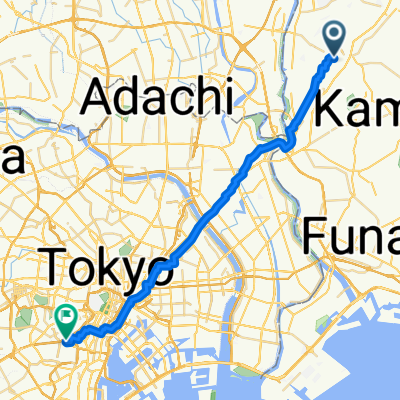
- unga eki to todai campus 3
- Distance
- 4.5 km
- Ascent
- 23 m
- Descent
- 26 m
- Location
- Nagareyama, Chiba, Japan
Open it in the app