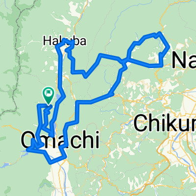
恋する神社巡り
- 56 km
- 728 m
- 723 m
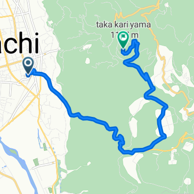
- Ōmachi, Nagano, Japan
A cycling route starting in Ōmachi, Nagano, Japan.
Overview
created this 5 years ago
Route quality
Quiet road
13.2 km
(54 %)
Road
1.5 km
(6 %)
Paved
1.5 km
(6 %)
Asphalt
1.5 km
(6 %)
Undefined
22.9 km
(94 %)
Continue with Bikemap
You would like to ride 国宝仁科神明宮と塩の道山麓コース or customize it for your own trip? Here is what you can do with this Bikemap route:
Free trial for 3 days, or one-time payment. More about Bikemap Premium.
Discover more Premium features.
Get Bikemap PremiumFrom our community
Open it in the app