

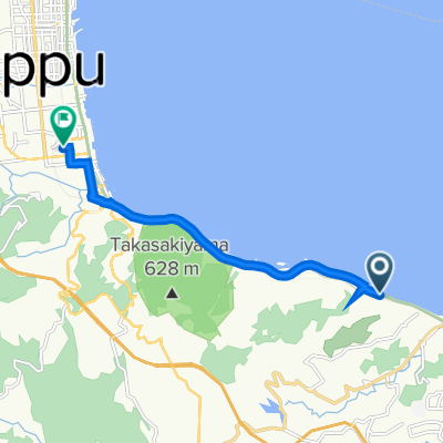
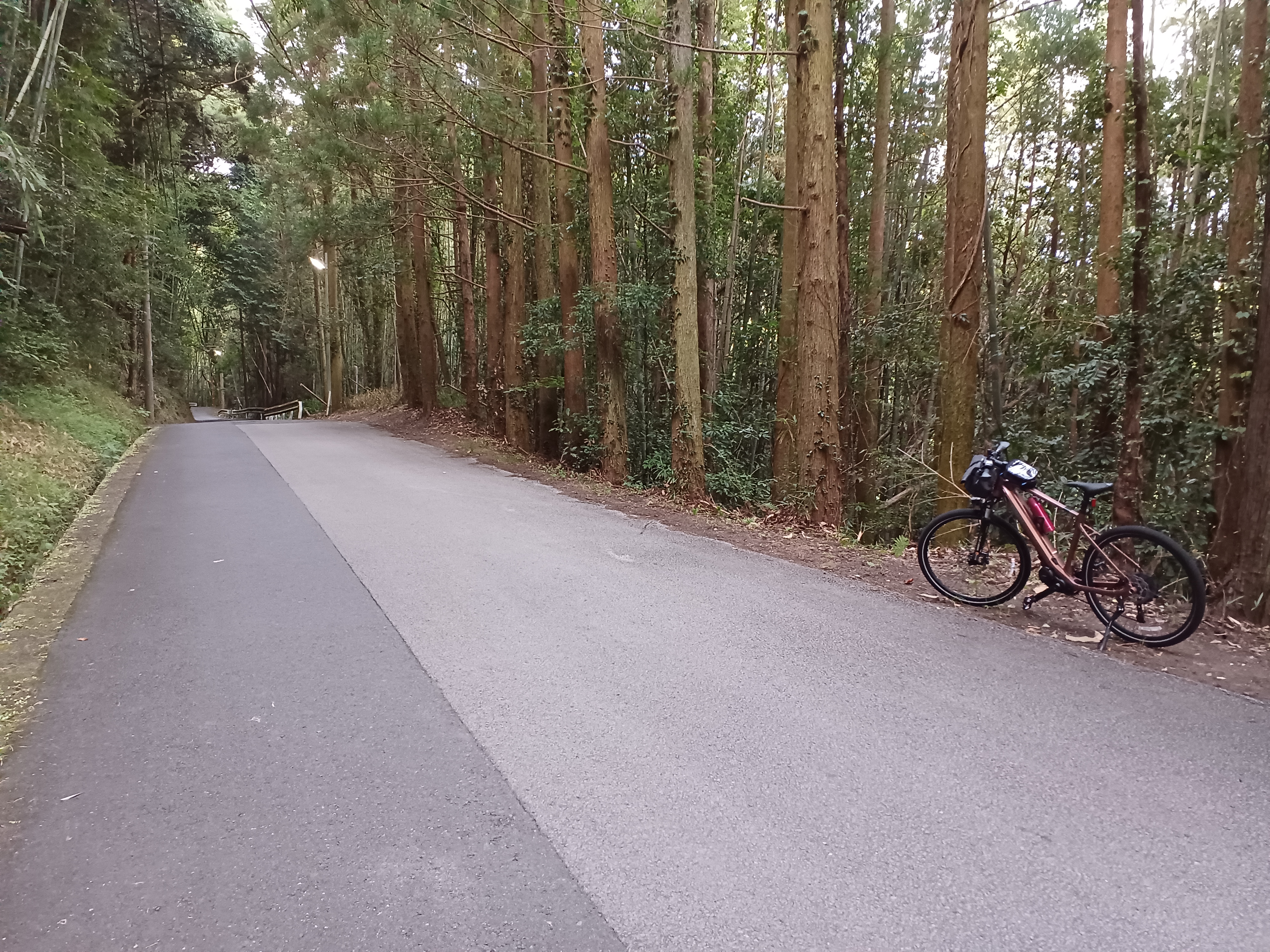
戸次本町大野川ルート(戸次エリア)
A cycling route starting in Ōita, Oita, Japan.
Overview
About this route
- -:--
- Duration
- 9.2 km
- Distance
- 17 m
- Ascent
- 18 m
- Descent
- ---
- Avg. speed
- ---
- Max. altitude

Continue with Bikemap
Use, edit, or download this cycling route
You would like to ride 戸次本町大野川ルート(戸次エリア) or customize it for your own trip? Here is what you can do with this Bikemap route:
Free features
- Save this route as favorite or in collections
- Copy & plan your own version of this route
- Sync your route with Garmin or Wahoo
Premium features
Free trial for 3 days, or one-time payment. More about Bikemap Premium.
- Navigate this route on iOS & Android
- Export a GPX / KML file of this route
- Create your custom printout (try it for free)
- Download this route for offline navigation
Discover more Premium features.
Get Bikemap PremiumFrom our community
Other popular routes starting in Ōita
 まちなか芸術発見ルート
- Distance
- 4.3 km
- Ascent
- 23 m
- Descent
- 21 m
- Location
- Ōita, Oita, Japan
 oita - yufu
- Distance
- 23.8 km
- Ascent
- 291 m
- Descent
- 133 m
- Location
- Ōita, Oita, Japan
 大分川・七瀬川ルート
- Distance
- 14.5 km
- Ascent
- 63 m
- Descent
- 63 m
- Location
- Ōita, Oita, Japan
 2005/04/29大分-九重
- Distance
- 77.8 km
- Ascent
- 1,857 m
- Descent
- 926 m
- Location
- Ōita, Oita, Japan
 大分(Ooita) to 別府(Beppu)
- Distance
- 8 km
- Ascent
- 139 m
- Descent
- 137 m
- Location
- Ōita, Oita, Japan
 2-chōme 9, Oita nach 3-chōme 3, Beppu
- Distance
- 34.8 km
- Ascent
- 345 m
- Descent
- 356 m
- Location
- Ōita, Oita, Japan
 大分~佐賀関サイクリング
- Distance
- 72.9 km
- Ascent
- 726 m
- Descent
- 727 m
- Location
- Ōita, Oita, Japan
 霊山サイクリング
- Distance
- 14.1 km
- Ascent
- 407 m
- Descent
- 122 m
- Location
- Ōita, Oita, Japan
Open it in the app