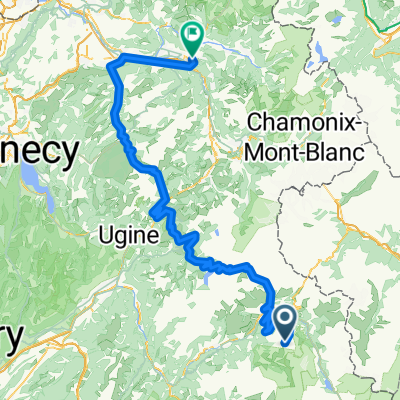
Col de l'Iseran
A cycling route starting in Séez, Auvergne-Rhône-Alpes, France.
Overview
About this route
- -:--
- Duration
- 76.5 km
- Distance
- 1,977 m
- Ascent
- 1,473 m
- Descent
- ---
- Avg. speed
- ---
- Avg. speed
Route quality
Waytypes & surfaces along the route
Waytypes
Undefined
76.5 km
(100 %)
Surfaces
Undefined
76.5 km
(100 %)
Continue with Bikemap
Use, edit, or download this cycling route
You would like to ride Col de l'Iseran or customize it for your own trip? Here is what you can do with this Bikemap route:
Free features
- Save this route as favorite or in collections
- Copy & plan your own version of this route
- Sync your route with Garmin or Wahoo
Premium features
Free trial for 3 days, or one-time payment. More about Bikemap Premium.
- Navigate this route on iOS & Android
- Export a GPX / KML file of this route
- Create your custom printout (try it for free)
- Download this route for offline navigation
Discover more Premium features.
Get Bikemap PremiumFrom our community
Other popular routes starting in Séez
- p31 Col du Petit Saint-Bernard
- Distance
- 56.4 km
- Ascent
- 1,466 m
- Descent
- 1,524 m
- Location
- Séez, Auvergne-Rhône-Alpes, France
- Transalpine (11) Bourg St. Maurice - Vijaron
- Distance
- 64.9 km
- Ascent
- 2,025 m
- Descent
- 1,097 m
- Location
- Séez, Auvergne-Rhône-Alpes, France
- Iseran
- Distance
- 42.6 km
- Ascent
- 2,037 m
- Descent
- 136 m
- Location
- Séez, Auvergne-Rhône-Alpes, France
- Col de l'Iseran
- Distance
- 76.5 km
- Ascent
- 1,977 m
- Descent
- 1,473 m
- Location
- Séez, Auvergne-Rhône-Alpes, France
- 14,15,16) Col de la Madeleine - 2000 m. + Col du Glandon - 1924 m. + Col de la Croix de Fer - 2067 m.
- Distance
- 150.8 km
- Ascent
- 3,319 m
- Descent
- 3,498 m
- Location
- Séez, Auvergne-Rhône-Alpes, France
- Briançon - Arc 2000
- Distance
- 203 km
- Ascent
- 3,914 m
- Descent
- 4,894 m
- Location
- Séez, Auvergne-Rhône-Alpes, France
- Grandes Alpes_Kudrna_Etapa3
- Distance
- 104.7 km
- Ascent
- 2,092 m
- Descent
- 1,817 m
- Location
- Séez, Auvergne-Rhône-Alpes, France
- La "8"
- Distance
- 7.2 km
- Ascent
- 42 m
- Descent
- 861 m
- Location
- Séez, Auvergne-Rhône-Alpes, France