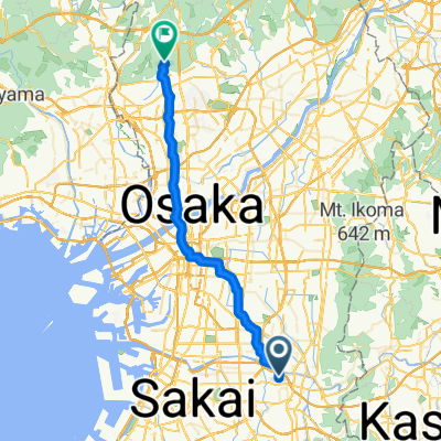
金剛山ヒルクライム~森のくまさんを訪ねて~
A cycling route starting in Kashihara, Ōsaka, Japan.
Overview
About this route
- -:--
- Duration
- 49.3 km
- Distance
- 880 m
- Ascent
- 879 m
- Descent
- ---
- Avg. speed
- ---
- Avg. speed
Route quality
Waytypes & surfaces along the route
Waytypes
Road
21.7 km
(44 %)
Busy road
16.9 km
(34 %)
Surfaces
Paved
25.1 km
(51 %)
Unpaved
0.3 km
(<1 %)
Asphalt
14.9 km
(30 %)
Paved (undefined)
10.2 km
(21 %)
Continue with Bikemap
Use, edit, or download this cycling route
You would like to ride 金剛山ヒルクライム~森のくまさんを訪ねて~ or customize it for your own trip? Here is what you can do with this Bikemap route:
Free features
- Save this route as favorite or in collections
- Copy & plan your own version of this route
- Sync your route with Garmin or Wahoo
Premium features
Free trial for 3 days, or one-time payment. More about Bikemap Premium.
- Navigate this route on iOS & Android
- Export a GPX / KML file of this route
- Create your custom printout (try it for free)
- Download this route for offline navigation
Discover more Premium features.
Get Bikemap PremiumFrom our community
Other popular routes starting in Kashihara
- ル・カフェ・サリュ加美
- Distance
- 6 km
- Ascent
- 4 m
- Descent
- 6 m
- Location
- Kashihara, Ōsaka, Japan
- ヴェロスタfastest
- Distance
- 15.9 km
- Ascent
- 39 m
- Descent
- 29 m
- Location
- Kashihara, Ōsaka, Japan
- ローソン杭全
- Distance
- 9.9 km
- Ascent
- 14 m
- Descent
- 21 m
- Location
- Kashihara, Ōsaka, Japan
- 1,柏原〜彼方
- Distance
- 14.5 km
- Ascent
- 80 m
- Descent
- 23 m
- Location
- Kashihara, Ōsaka, Japan
- 道明寺発~水越峠~十三峠 80km
- Distance
- 81.2 km
- Ascent
- 1,689 m
- Descent
- 1,691 m
- Location
- Kashihara, Ōsaka, Japan
- 3丁目, 八尾市 まで堺市
- Distance
- 15.2 km
- Ascent
- 37 m
- Descent
- 25 m
- Location
- Kashihara, Ōsaka, Japan
- 河内長野→狭山→堺
- Distance
- 56.5 km
- Ascent
- 449 m
- Descent
- 448 m
- Location
- Kashihara, Ōsaka, Japan
- 柏原市民文化会館 リビエールホール
- Distance
- 3.4 km
- Ascent
- 3 m
- Descent
- 0 m
- Location
- Kashihara, Ōsaka, Japan
Open it in the app