

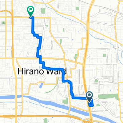
【大阪府】大阪の坂シリーズ:葡萄坂に挑戦!!
A cycling route starting in Yao, Osaka, Japan.
Overview
About this route
- -:--
- Duration
- 28.1 km
- Distance
- 788 m
- Ascent
- 793 m
- Descent
- ---
- Avg. speed
- ---
- Max. altitude

Route quality
Waytypes & surfaces along the route
Waytypes
Road
14.6 km
(52 %)
Quiet road
11 km
(39 %)
Surfaces
Paved
7.3 km
(26 %)
Paved (undefined)
5.3 km
(19 %)
Asphalt
2 km
(7 %)
Undefined
20.8 km
(74 %)
Continue with Bikemap
Use, edit, or download this cycling route
You would like to ride 【大阪府】大阪の坂シリーズ:葡萄坂に挑戦!! or customize it for your own trip? Here is what you can do with this Bikemap route:
Free features
- Save this route as favorite or in collections
- Copy & plan your own version of this route
- Sync your route with Garmin or Wahoo
Premium features
Free trial for 3 days, or one-time payment. More about Bikemap Premium.
- Navigate this route on iOS & Android
- Export a GPX / KML file of this route
- Create your custom printout (try it for free)
- Download this route for offline navigation
Discover more Premium features.
Get Bikemap PremiumFrom our community
Other popular routes starting in Yao
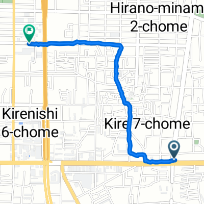 Restful route in Hirano-Ku, Osaka-Shi
- Distance
- 1.8 km
- Ascent
- 45 m
- Descent
- 46 m
- Location
- Yao, Osaka, Japan
 東大阪-柏原-R310-葛城
- Distance
- 100.5 km
- Ascent
- 1,386 m
- Descent
- 1,387 m
- Location
- Yao, Osaka, Japan
 【大阪府】大阪の坂シリーズ:葡萄坂に挑戦!!
- Distance
- 28.1 km
- Ascent
- 788 m
- Descent
- 793 m
- Location
- Yao, Osaka, Japan
 3丁目 8, 大阪市 まで3丁目 20, 大阪市
- Distance
- 4.9 km
- Ascent
- 3 m
- Descent
- 12 m
- Location
- Yao, Osaka, Japan
 89-9, Tennojiya 2-Chōme, Yao to Saganakanoshimacho, Ukyo, Kyoto
- Distance
- 60.2 km
- Ascent
- 307 m
- Descent
- 289 m
- Location
- Yao, Osaka, Japan
 光町2丁目, 八尾市 to 夕陽丘町4-5, 大阪市天王寺区
- Distance
- 14.9 km
- Ascent
- 348 m
- Descent
- 350 m
- Location
- Yao, Osaka, Japan
 下小阪3丁目6-16, 東大阪市へ下小阪3丁目6-10, 東大阪市
- Distance
- 12.8 km
- Ascent
- 20 m
- Descent
- 16 m
- Location
- Yao, Osaka, Japan
 北河内サイクルライン
- Distance
- 87.2 km
- Ascent
- 530 m
- Descent
- 531 m
- Location
- Yao, Osaka, Japan
Open it in the app