Saint-Michel de Maurienne - Alpe d'Huez
- 95.6 km
- 3,345 m
- 2,202 m
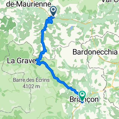
- Saint-Michel-de-Maurienne, Auvergne-Rhône-Alpes, France
Route des grands alpes
A cycling route starting in Saint-Michel-de-Maurienne, Auvergne-Rhône-Alpes, France.
Overview
Day 6: Friday, August 28 - Stage 1
created this 5 years ago
Part of
18 stages
Route quality
Paved
56.5 km
(100 %)
Asphalt
56.5 km
(100 %)
Continue with Bikemap
You would like to ride Etape 6a - Route grands Alpes or customize it for your own trip? Here is what you can do with this Bikemap route:
Free trial for 3 days, or one-time payment. More about Bikemap Premium.
Discover more Premium features.
Get Bikemap PremiumFrom our community
Open it in the app