

Tag_1_-_ZZ_Transalp_Zurich_-_Brunnen
A cycling route starting in Wädenswil / Büelen, Canton of Zurich, Switzerland.
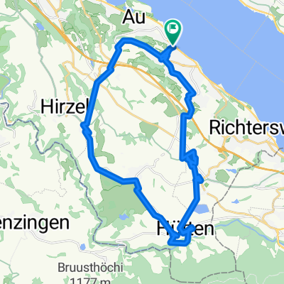
Overview
About this route
Wädenswil (400m) – Samstagern (620m) - Etzel (1100m) – Shilsee (900m) – Einsiedeln – Alpthal – Mythen/Haggenegg (1414m) – Schwyz – Brunnen (435m)
Our tour starts in Wädenswil, right on Lake Zurich. We leisurely stroll up a very beautiful forest path already within the village. Who would have thought that there are such lovely forest paths so close to the lake right in the village? We climb up to Samstagern, where we enjoy beautiful views of Lake Zurich. In Samstagern or even earlier (Burghalden/Grünfeld), those who prefer to take the first day more leisurely can take the regional train up to Einsiedeln. The others cycle via Etzel on a pleasantly rising path to Einsiedeln, where we can take a lunch break at the picturesque Shilsee or near the large monastery. Afterwards, we head through the lightly trafficked Alpthal up to the two Mythen mountains, which tower like volcanoes at the end of the valley. Once at the top at Mythen in Haggenegg, we again have a magnificent view of Lake Lucerne and the town of Schwyz, which we descend to on a downhill trail or along the road. Not far from Schwyz is the charming Brunnen directly on Lake Lucerne – our first overnight stop.
- -:--
- Duration
- 63.2 km
- Distance
- 1,310 m
- Ascent
- 1,279 m
- Descent
- ---
- Avg. speed
- ---
- Max. altitude

Continue with Bikemap
Use, edit, or download this cycling route
You would like to ride Tag_1_-_ZZ_Transalp_Zurich_-_Brunnen or customize it for your own trip? Here is what you can do with this Bikemap route:
Free features
- Save this route as favorite or in collections
- Copy & plan your own version of this route
- Sync your route with Garmin or Wahoo
Premium features
Free trial for 3 days, or one-time payment. More about Bikemap Premium.
- Navigate this route on iOS & Android
- Export a GPX / KML file of this route
- Create your custom printout (try it for free)
- Download this route for offline navigation
Discover more Premium features.
Get Bikemap PremiumFrom our community
Other popular routes starting in Wädenswil / Büelen
 Laufrunde23082015
- Distance
- 13 km
- Ascent
- 161 m
- Descent
- 158 m
- Location
- Wädenswil / Büelen, Canton of Zurich, Switzerland
 Tag_1_-_ZZ_Transalp_Zurich_-_Brunnen
- Distance
- 63.2 km
- Ascent
- 1,310 m
- Descent
- 1,279 m
- Location
- Wädenswil / Büelen, Canton of Zurich, Switzerland
 Hütten
- Distance
- 28.1 km
- Ascent
- 483 m
- Descent
- 482 m
- Location
- Wädenswil / Büelen, Canton of Zurich, Switzerland
 Schweiz Kroatien (Wädenswil-Pula)
- Distance
- 868.4 km
- Ascent
- 3,410 m
- Descent
- 3,844 m
- Location
- Wädenswil / Büelen, Canton of Zurich, Switzerland
 Wädenswil-ArthGoldau-Luzern-Hirzel
- Distance
- 109.7 km
- Ascent
- 1,099 m
- Descent
- 1,099 m
- Location
- Wädenswil / Büelen, Canton of Zurich, Switzerland
 Caminhada lenta Wädenswil
- Distance
- 14.7 km
- Ascent
- 713 m
- Descent
- 703 m
- Location
- Wädenswil / Büelen, Canton of Zurich, Switzerland
 Ütliberg
- Distance
- 38.8 km
- Ascent
- 858 m
- Descent
- 867 m
- Location
- Wädenswil / Büelen, Canton of Zurich, Switzerland
 Laufroute21102012
- Distance
- 11.6 km
- Ascent
- 227 m
- Descent
- 228 m
- Location
- Wädenswil / Büelen, Canton of Zurich, Switzerland
Open it in the app