c4 Tour en forêt de Compiègne
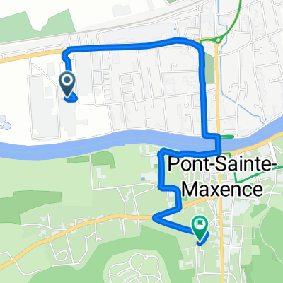
A cycling route starting in Pont-Sainte-Maxence, Hauts-de-France, France.
Overview
About this route
Approximate mileage, as it is better to use the greenway in the Compiègne forest up to Pierrefonds, then return to Compiègne via Vieux Moulin (which the route editor does not calculate), as well as the cycling path between Compiègne and Lacroix on the left bank of the Oise.
- -:--
- Duration
- 66.1 km
- Distance
- 213 m
- Ascent
- 213 m
- Descent
- ---
- Avg. speed
- ---
- Max. altitude
Continue with Bikemap
Use, edit, or download this cycling route
You would like to ride c4 Tour en forêt de Compiègne or customize it for your own trip? Here is what you can do with this Bikemap route:
Free features
- Save this route as favorite or in collections
- Copy & plan your own version of this route
- Sync your route with Garmin or Wahoo
Premium features
Free trial for 3 days, or one-time payment. More about Bikemap Premium.
- Navigate this route on iOS & Android
- Export a GPX / KML file of this route
- Create your custom printout (try it for free)
- Download this route for offline navigation
Discover more Premium features.
Get Bikemap PremiumFrom our community
Other popular routes starting in Pont-Sainte-Maxence
- 26 Rue Georges Decroze, Pont-Sainte-Maxence à Rond-point de Sylvie, Chantilly
- Distance
- 23.1 km
- Ascent
- 215 m
- Descent
- 190 m
- Location
- Pont-Sainte-Maxence, Hauts-de-France, France
- pierrefonds
- Distance
- 81.7 km
- Ascent
- 373 m
- Descent
- 373 m
- Location
- Pont-Sainte-Maxence, Hauts-de-France, France
- 290319
- Distance
- 50.6 km
- Ascent
- 524 m
- Descent
- 524 m
- Location
- Pont-Sainte-Maxence, Hauts-de-France, France
- c3 Tour de la forêt de Chantilly
- Distance
- 75.7 km
- Ascent
- 324 m
- Descent
- 324 m
- Location
- Pont-Sainte-Maxence, Hauts-de-France, France
- c4 Tour en forêt de Compiègne
- Distance
- 66.1 km
- Ascent
- 213 m
- Descent
- 213 m
- Location
- Pont-Sainte-Maxence, Hauts-de-France, France
- Pont-Sainte-Maxence - Gournay-en-Bray
- Distance
- 84.7 km
- Ascent
- 309 m
- Descent
- 248 m
- Location
- Pont-Sainte-Maxence, Hauts-de-France, France
- E3 naar Tergier
- Distance
- 84.4 km
- Ascent
- 272 m
- Descent
- 258 m
- Location
- Pont-Sainte-Maxence, Hauts-de-France, France
- ponpoint
- Distance
- 13.6 km
- Ascent
- 191 m
- Descent
- 196 m
- Location
- Pont-Sainte-Maxence, Hauts-de-France, France
Open it in the app