
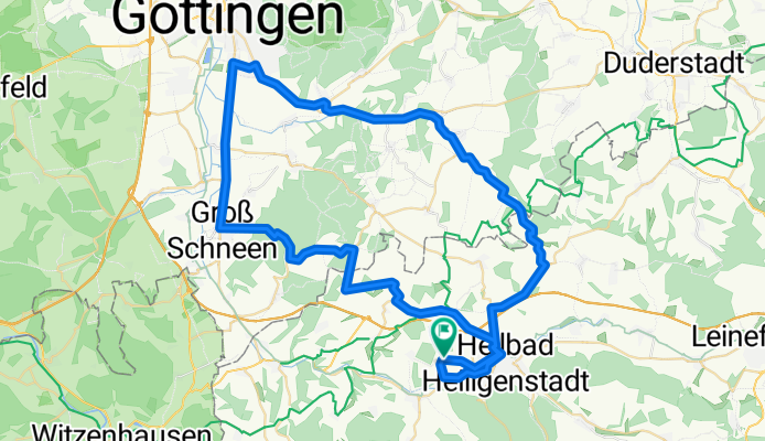
Rengelrode Göttingen
A cycling route starting in Steinheuterode, Thuringia, Germany.
Overview
About this route
- -:--
- Duration
- 67.9 km
- Distance
- 607 m
- Ascent
- 574 m
- Descent
- ---
- Avg. speed
- 367 m
- Max. altitude
Route quality
Waytypes & surfaces along the route
Waytypes
Road
18.3 km
(27 %)
Quiet road
10.2 km
(15 %)
Surfaces
Paved
45.5 km
(67 %)
Unpaved
0.7 km
(1 %)
Asphalt
44.8 km
(66 %)
Concrete
0.7 km
(1 %)
Continue with Bikemap
Use, edit, or download this cycling route
You would like to ride Rengelrode Göttingen or customize it for your own trip? Here is what you can do with this Bikemap route:
Free features
- Save this route as favorite or in collections
- Copy & plan your own version of this route
- Sync your route with Garmin or Wahoo
Premium features
Free trial for 3 days, or one-time payment. More about Bikemap Premium.
- Navigate this route on iOS & Android
- Export a GPX / KML file of this route
- Create your custom printout (try it for free)
- Download this route for offline navigation
Discover more Premium features.
Get Bikemap PremiumFrom our community
Other popular routes starting in Steinheuterode
 Udersche Straße 16, Steinheuterode nach Wilhelmstraße 15, Einbeck
- Distance
- 72 km
- Ascent
- 314 m
- Descent
- 494 m
- Location
- Steinheuterode, Thuringia, Germany
 Rengelrode Göttingen CLONED FROM ROUTE 57001
- Distance
- 68 km
- Ascent
- 483 m
- Descent
- 483 m
- Location
- Steinheuterode, Thuringia, Germany
 L2003, Hohes Kreuz nach A7, Northeim
- Distance
- 45.8 km
- Ascent
- 56 m
- Descent
- 111 m
- Location
- Steinheuterode, Thuringia, Germany
 Tag 1
Tag 1- Distance
- 74.7 km
- Ascent
- 260 m
- Descent
- 390 m
- Location
- Steinheuterode, Thuringia, Germany
 Tour1
Tour1- Distance
- 25.4 km
- Ascent
- 299 m
- Descent
- 300 m
- Location
- Steinheuterode, Thuringia, Germany
 Tag 1 Camping
- Distance
- 74.5 km
- Ascent
- 290 m
- Descent
- 420 m
- Location
- Steinheuterode, Thuringia, Germany
 Winkelgasse 4A, Heilbad Heiligenstadt nach Reichensächser Straße, Eschwege
- Distance
- 36.7 km
- Ascent
- 185 m
- Descent
- 251 m
- Location
- Steinheuterode, Thuringia, Germany
 Rengelrode Göttingen
- Distance
- 67.9 km
- Ascent
- 607 m
- Descent
- 574 m
- Location
- Steinheuterode, Thuringia, Germany
Open it in the app