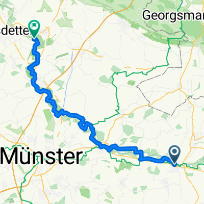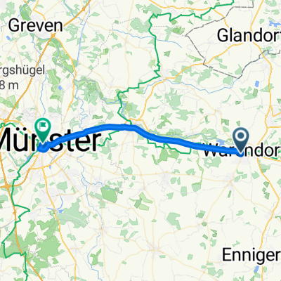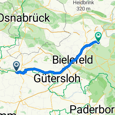
Everswinkel - Halle + Halle - Porta Westfalica
- 73.5 km
- 342 m
- 277 m
- Warendorf, North Rhine-Westphalia, Germany
A cycling route starting in Warendorf, North Rhine-Westphalia, Germany.
Overview
created this 5 years ago
Route quality
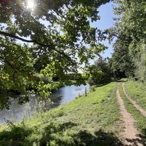
Path
20 km
(48 %)
Track
12.5 km
(30 %)
Paved
6.2 km
(15 %)
Unpaved
30.4 km
(73 %)
Ground
17.5 km
(42 %)
Asphalt
6.2 km
(15 %)
Continue with Bikemap
You would like to ride Trails Warendorf - Telgte or customize it for your own trip? Here is what you can do with this Bikemap route:
Free trial for 3 days, or one-time payment. More about Bikemap Premium.
Discover more Premium features.
Get Bikemap PremiumFrom our community
Open it in the app